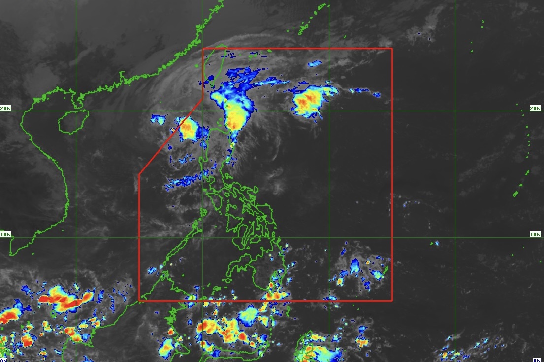
"Pepito" weakens into a severe tropical storm over the West Philippine Sea, according to state weather bureau PAGASA in its 11 a.m. advisory on Monday, November 18, 2024.
As of 10 a.m., the center of #PepitoPH (international name: Man-Yi) was estimated based on all available data at 270 km West of Batac, Ilocos Norte (18.2°N, 118.0°E).
• Intensity
Maximum sustained winds of 110 km/h near the center, gustiness of up to 135 km/h, and central pressure of 980 hPa
• Present Movement
West northwestward at 20 km/h
• Extent of Tropical Cyclone Winds
Strong to storm-force winds extend outwards up to 280 km from the center
TROPICAL CYCLONE WIND SIGNALS (TCWS) IN EFFECT
TCWS No. 1
Wind threat: Strong winds
Warning lead time: 36 hours
Range of wind speeds: 39 to 61 km/h (Beaufort 6 to 7)
Potential impacts of winds: Minimal to minor threat to life and property
Luzon:
Ilocos Norte, Ilocos Sur, La Union, the western portion of Pangasinan (Burgos, Dasol, Sual, Mabini, Binmaley, San Fabian, Dagupan City, Lingayen, Labrador, City of Alaminos, Bolinao, Anda, Bani, Agno, Infanta, Bugallon, Mangaldan), and the western portion of Abra (Danglas, Bangued, Langiden, La Paz, Pidigan, San Quintin, San Isidro, Pilar, Peñarrubia, Villaviciosa, Lagayan)


