

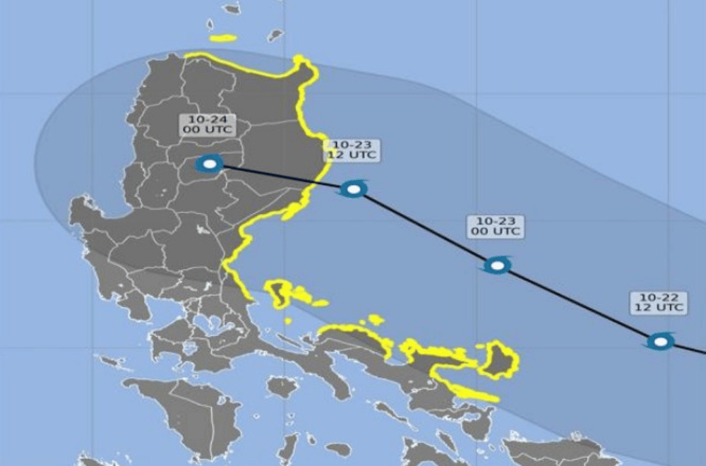
Eight areas in Eastern Luzon face a minimal to moderate chance of a storm surge in the next 48 hours, state weather bureau PAGASA said Tuesday afternoon on October 22, 2024.
A storm surge is an abnormal rise of the ocean generated by a weather disturbance such as a tropical cyclone, over and above the predicted high tide mark, according to the US National Weather Service.
“Residents along the coast are advised to take extra precautions due to high waves in some municipalities in the provinces of Albay, Aurora, Cagayan, Camarines Norte, Camarines Sur, Catanduanes, Isabela, And Quezon,” PAGASA said.
Residents of low-lying coastal communities are also advised to stay away from the coast or the beach, cancel all marine activities, be aware of prevailing conditions and follow PAGASA’s latest updates.
“The public and the disaster risk reduction and management offices concerned are advised to take appropriate actions and precautionary measures,” PAGASA said.
The height of the storm surge was estimated to be 1.0 to 2.0 meters in the following low-lying areas:
CAGAYAN VALLEY
- Cagayan
- Abulug
- Aparri
- Baggao
- Ballesteros
- Buguey
- Claveria
- Gattaran
- Gonzaga
- Lal-lo
- Pamplona
- Peñablanca
- Sanchez-Mira
- Santa Ana
- Santa Praxedes
- Santa Teresita
- Isabela
CENTRAL LUZON
- Aurora
- Baler
- Casiguran
- Dilasag
- Dinalungan
- Dipaculao
- San Luis
CALABARZON
- Quezon province
BICOL REGION
- Albay
- Bacacay
- City of Tabaco
- Malinao
- Rapu-Rapu
- Tiwi
- Camarines Norte
- Daet
- Basud
- Capalonga
- Jose Panganiban
- Mercedes
- Paracale
- Talisay
- Vinzons
- Camarines Sur
- Caramoan
- Garchitorena
- Lagonoy
- Catanduanes
(via GMA Integrated News)
