

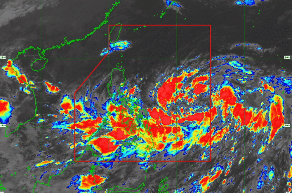
Tropical Depression #KristinePH has maintained its strength while moving west southwestward over the Philippine Sea, according to the Philippine Atmospheric, Geophysical and Astronomical Services Administration (PAGASA).
As of 11:00 a.m. on October 21, 2024, the center of "Kristine" was located 870 km east of Eastern Visayas.
The storm is moving at a speed of 30 km/h in a west-southwestward direction.
The storm currently has maximum sustained winds of 55 km/h near its center, with gustiness reaching up to 70 km/h.
Tropical Cyclone Wind Signal No. 1 has been raised over:
Luzon
- Catanduanes
- Masbate including Ticao Island and Burias Island
- Camarines Sur
- Albay
- Sorsogon
- Camarines Norte
- Eastern portion of Quezon (Tagkawayan, Guinayangan, Buenavista, San Narciso, San Andres)
Visayas
- Eastern Samar
- Northern Samar
- Samar
- Leyte
- Biliran
- Southern Leyte
Mindanao
- Dinagat Islands,
- Surigao del Norte including Siargao and Bucas Grande Group
Heavy Rainfall Outlook:
According to PAGASA's Weather Advisory No. 3, heavy rainfall from #KristinePH is expected over several regions in Luzon, Visayas, and Mindanao.
Severe Winds:
Areas under Wind Signal No. 1 may experience minimal to minor impacts from strong winds, especially in coastal and upland areas. Winds may be slightly stronger in exposed areas, while sheltered regions will have weaker winds. The highest wind signal expected during #KristinePH’s progression is Wind Signal No. 4.
Moreover, strong to gale-force gusts will impact several regions due to "Kristine" and the Northeasterly Windflow:
- Today (October 21): Batanes, Cagayan, Ilocos Norte, southern Palawan, Siquijor, Bohol, Zamboanga Peninsula, Northern Mindanao, Dinagat Islands, Surigao del Norte, BARMM, Sarangani, Davao del Sur, and Davao Oriental
- Tomorrow (October 22): Batanes, Babuyan Islands, Ilocos Norte, Ilocos Sur, Palawan, Romblon, Aklan, Antique, Negros Island, northern Cebu, Bohol, Southern Leyte, Zamboanga del Norte, Northern Mindanao, Dinagat Islands, Surigao del Norte, Agusan del Norte, Sarangani, Davao del Sur, Davao Oriental
- Wednesday (October 23): MIMAROPA, Visayas, and Mindanao.
Hazards Affecting Coastal Waters:
PAGASA has issued a 24-hour sea condition outlook, forecasting moderate to rough seas. Mariners of small vessels are advised to avoid navigating these waters:
- Up to 4.5 meters: Coastal waters of Isabela, Aurora, Polillo Islands, Catanduanes, Northern Samar, and eastern seaboards of mainland Cagayan, Camarines Norte, and Camarines Sur
- Up to 4.0 meters: Batanes, the remaining seaboards of Cagayan and Bicol, and Eastern Samar
- Up to 3.0 meters: Ilocos Region, Dinagat Islands, and Davao Region
- Gale Warnings are expected in these areas.
Track and Intensity Outlook:
#KristinePH is expected to continue its westward movement until tomorrow morning before shifting northwestward. The tropical depression is projected to make landfall over Northern Luzon by Friday, October 25, 2024.
It is forecast to intensify into a tropical storm within the next 12 hours, reaching severe tropical storm status by Wednesday, October 23, and potentially becoming a typhoon by Thursday, October 24 or Friday morning, October 25.
