

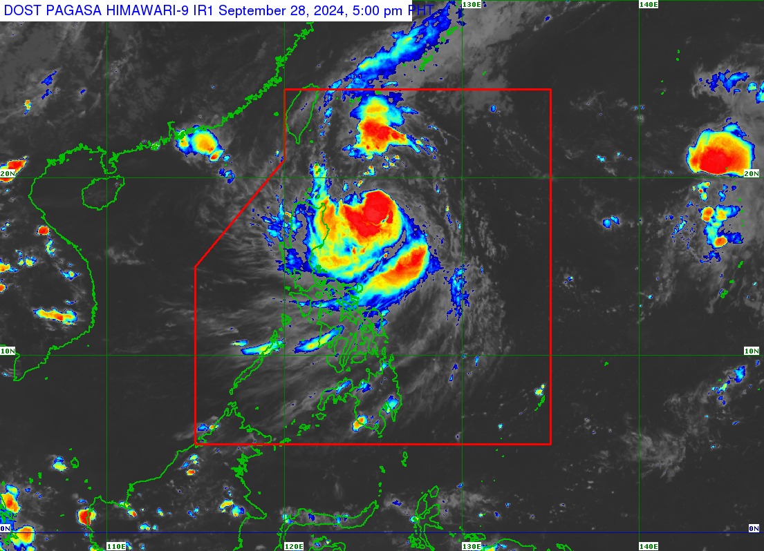
Tropical Storm "Julian" intensifies slightly as it moves over the Philippine Sea east of Cagayan, according to Tropical Cyclone Bulletin Number 7 issued at 5 p.m. on September 28, 2024 and valid for broadcast until the next bulletin at 11 p.m. today.
The center of #JulianPH was estimated based on all available data at 380 km East of Aparri, Cagayan (18.6°N, 125.2°E).
Intensity:
Maximum sustained winds of 75 km/h near the center, gustiness of up to 90 km/h, and central pressure of 996 hPa
Present Movement:
West northwestward at 15 km/h
Extent of Tropical Cyclone Winds:
Strong to gale-force winds extend outwards up to 420 km from the center
TROPICAL CYCLONE WIND SIGNALS (TCWS) IN EFFECT
TCWS No.1
Batanes, Cagayan including Babuyan Islands, Isabela, Apayao, Kalinga, the eastern portion of Mountain Province (Natonin, Paracelis), the eastern portion of Ifugao (Aguinaldo, Alfonso Lista), Ilocos Norte, Abra and the northern portion of Aurora (Dilasag, Casiguran)
Wind threat: Strong winds
Warning lead time: 36 hours
Range of wind speeds: 39 to 61 km/h (Beaufort 6 to 7)
Potential impacts of winds: Minimal to minor threat to life and property
