

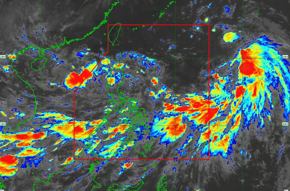
Tropical Depression #GenerPH is expected to emerge over the West Philippine Sea while maintaining its current strength, according to the Philippine Atmospheric, Geophysical and Astronomical Services Administration (PAGASA).
As of 11:00 a.m. on September 17, 2024, the center of #GenerPH was located near Kibungan, Benguet.
The depression is moving westward at a speed of 15 km/h.
It currently has maximum sustained winds of 45 km/h near its center, with gustiness reaching up to 55 km/h.
Tropical Cyclone Wind Signal No. 1 has been raised over:
- Cagayan including Babuyan Islands
- Isabela
- Quirino
- Nueva Vizcaya
- Apayao
- Kalinga
- Abra
- Ifugao
- Mountain Province
- Benguet
- Ilocos Norte
- Ilocos Sur
- La Union
- Pangasinan
- Zambales
- Tarlac
- Nueva Ecija
- Pampanga
Heavy Rainfall Outlook:
Refer to Weather Advisory No. 27 for the heavy rainfall outlook due to TD #GenerPH and the enhanced Southwest Monsoon. Areas including Cagayan, Isabela, Nueva Vizcaya, and Ilocos Norte may experience significant rainfall. Other regions under the wind signal should prepare for possible heavy showers.
Severe Winds:
Winds are expected to be minimal to minor within areas under Wind Signal No. 1. The enhanced Southwest Monsoon will bring strong to gale-force gusts to regions including Batanes, MIMAROPA, Bicol Region, Visayas, and Mindanao today. Tomorrow (18 September), strong winds will affect Zambales, Bataan, Pampanga, Bulacan, Metro Manila, CALABARZON, MIMAROPA, Bicol Region, and Visayas. By Thursday (19 September), Isabela, Aurora, Pangasinan, Zambales, Bataan, Metro Manila, CALABARZON, MIMAROPA, Bicol Region, and Western Visayas will experience strong winds.
Hazards Affecting Coastal Waters:
Gale Warnings are in effect for several coastal waters in Northern Luzon, Southern Luzon, Visayas, and Mindanao. Sea travel is risky for small seacrafts, including motorbancas. Mariners are advised to avoid navigating in these conditions.
Track and Intensity Outlook:
"Gener" is forecast to emerge over the coastal waters of Ilocos Sur or La Union today. The depression will move generally westward over the West Philippine Sea until Thursday (19 September) before turning west-northwestward towards southern China. It may exit the Philippine Area of Responsibility (PAR) between tonight and tomorrow morning.
#GenerPH may weaken into a Low Pressure Area in the next 12 hours due to interaction with Northern Luzon's rugged terrain but could intensify into a tropical storm as it moves over the West Philippine Sea.
PAGASA advises the public to stay updated on further advisories and take necessary precautions as #GenerPH progresses.
