

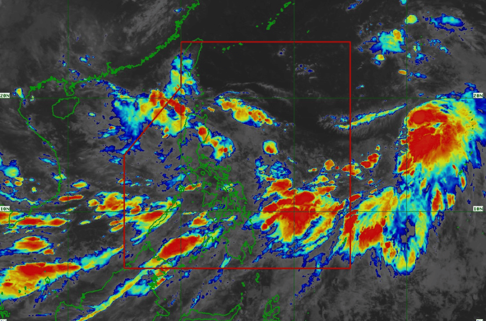
Tropical Depression #GenerPH has slightly weakened while moving southwestward as it interacts with the rugged terrain of the Cordilleras, according to the Philippine Atmospheric, Geophysical and Astronomical Services Administration (PAGASA).
As of 8:00 a.m. of September 17, 2024, the center of #GenerPH was located in the vicinity of Ambaguio, Nueva Vizcaya.
The storm is moving at a speed of 15 km/h in a southwestward direction.
The storm currently has maximum sustained winds of 55 km/h near its center, with gustiness reaching up to 70 km/h.
Tropical Cyclone Wind Signal No. 1 has been raised over:
- Cagayan, including Babuyan Islands
- Isabela
- Quirino
- Nueva Vizcaya
- Apayao
- Kalinga
- Abra
- Ifugao
- Mountain Province
- Benguet
- Ilocos Norte
- Ilocos Sur
- La Union
- Pangasinan
- Zambales
- Tarlac
- Nueva Ecija
- Pampanga
- Bulacan
- Northern and central portions of Bataan (Dinalupihan, Orani, Hermosa)
- Aurora
- Northern portion of Quezon (General Nakar, Infanta) including Polillo Islands
- Northern portions of Rizal (Rodriguez, San Mateo)
- Northern portion of Metro Manila (Quezon City, Caloocan, Valenzuela, Malabon, Navotas, Marikina, Manila, San Juan, Mandaluyong)
#GenerPH is expected to move generally westward, emerging over the coastal waters of Ilocos Sur or La Union by the end of today. The tropical depression is forecast to exit the Philippine Area of Responsibility between tonight and morning of September 18, 2024.
In the next 12 hours, #GenerPH could weaken into a Low Pressure Area. However, there is a possibility of intensification into a tropical storm as it moves over the West Philippine Sea by tomorrow morning.
