

Severe Tropical Storm (STS) #BebincaPH has slightly weakened as it begins to shift its direction to the north-northwest, according to the Philippine Atmospheric, Geophysical and Astronomical Services Administration (PAGASA) Bulletin issued at 10:00 p.m. on September 12, 2024.
The center of Severe Tropical Storm #BebincaPH was last estimated at 1,725 km east of Extreme Northern Luzon (20.6°N, 138.6°E) at 10 p.m. on September 12.
12-Hour Forecast (8:00 AM, September 13, 2024) The storm is projected to be located 1,560 km east of Extreme Northern Luzon (outside PAR) with coordinates 22.7°N, 136.8°E.
The storm's intensity is characterized by maximum sustained winds of 95 km/h near the center, with gustiness reaching up to 115 km/h. The central pressure is recorded at 990 hPa. As for its movement, Severe Tropical Storm #BebincaPH is currently tracking north-northwestward at a speed of 25 km/h.
Strong to storm-force winds extend outwards up to 580 km from the center.
GENERAL OUTLOOK
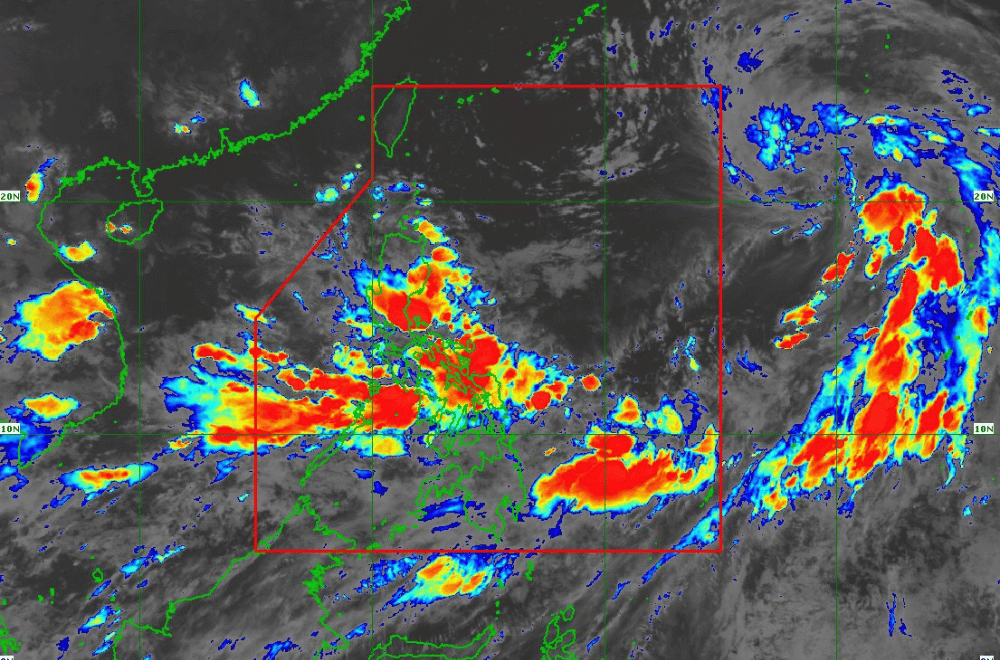
In the next 24 hours, the enhanced Southwest Monsoon will bring moderate to rough seas (1.0 to 3.5 meters) over the eastern seaboard of Mindanao, the seaboards of Palawan, the western seaboard of Visayas, the northern seaboard of Luzon, the eastern and southern seaboards of Visayas, and the northern and western seaboards of Mindanao. Mariners of small seacrafts and motorbancas are advised against venturing out to sea under these conditions.
Up to moderate seas is expected in the next 24 hours over the southern seaboard of Mindanao, the eastern seaboards of Northern Luzon and Bicol Region, and the remaining seaboard of MIMAROPA (up to 2.0 meters). Mariners are advised to take precautionary measures while at sea and, if possible, avoid navigation under these conditions.
TRACK AND INTENSITY OUTLOOK
#BebincaPH is forecast to turn northwestward on September 13, then west-northwestward on Saturday, September 14.
The storm will likely enter the Philippine Area of Responsibility (PAR) in the afternoon or evening of September 13. It is then expected to exit PAR late in the evening of September 13 or early morning of September 14.
#BebincaPH is forecast to reach typhoon category by Saturday.
Residents in affected areas should stay updated with PAGASA for further advisories and warnings.
