


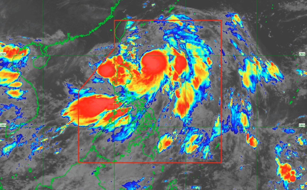
As of 5 a.m. on July 23, 2024, Typhoon "Carina" continues to maintain its strength while moving north-northwestward over the Philippine Sea, according to the Department of Science and Technology - Philippine Atmospheric, Geophysical and Astronomical Services Administration (DOST-PAGASA).
The typhoon is expected to bring heavy rainfall, strong winds, and hazardous sea conditions to several regions in Luzon and nearby areas.
It is currently located 380 kilometers east of Aparri, Cagayan, with maximum sustained winds of 130 km/h and gusts up to 160 km/h. The typhoon is moving north-northwestward at 10 km/h.
Heavy rainfall is expected on July 23, with forecasted accumulated rainfall of 100-200 mm in Batanes and the Babuyan Islands, and 50-100 mm in Ilocos Norte, Ilocos Sur, La Union, Abra, Benguet, Apayao, and Cagayan.
On July 24, Batanes will again see 100-200 mm of rain, while the Babuyan Islands will receive 50-100 mm.
On July 25, Batanes is expected to get 50-100 mm of rain. Elevated areas are particularly at risk of flooding and landslides.
The Southwest Monsoon, enhanced by Carina, will bring moderate to intense rainfall to western Luzon through July 25.
Strong winds are also anticipated, with minimal to minor impacts in areas under Wind Signal No. 1. Gale-force gusts will affect several regions:
On July 24, the Ilocos Region, Abra, Benguet, Nueva Vizcaya, Quirino, Zambales, Bataan, Aurora, Metro Manila, CALABARZON, MIMAROPA, Bicol Region, Visayas, Zamboanga Peninsula, Northern Mindanao, and Davao Region.
On July 25, these conditions will continue in many of these areas and extend to the Babuyan Islands.
On July 26, strong winds will affect Batanes, the Babuyan Islands, and other regions including Central Luzon, Western Visayas, Negros Occidental, and Northern Samar.
Typhoon Carina is expected to remain far from the Philippine landmass and make landfall over northern Taiwan between the evening of July 24 and morning of July 25.
The typhoon is forecasted to exit the Philippine Area of Responsibility shortly after. It is predicted to intensify further before landfall and then weaken as it moves over Taiwan and towards southeastern China.
PAGASA advised residents in affected areas to inspect their homes for necessary repairs, clean drainage systems, harvest crops, and monitor PAGASA’s Severe Weather Bulletins issued every six hours.
