

Two tropical depressions (TD) are over separate areas south of Luzon.
The first Low Pressure Area (LPA) has developed into a tropical depression and was estimated to be over Tanauan City, Batangas.
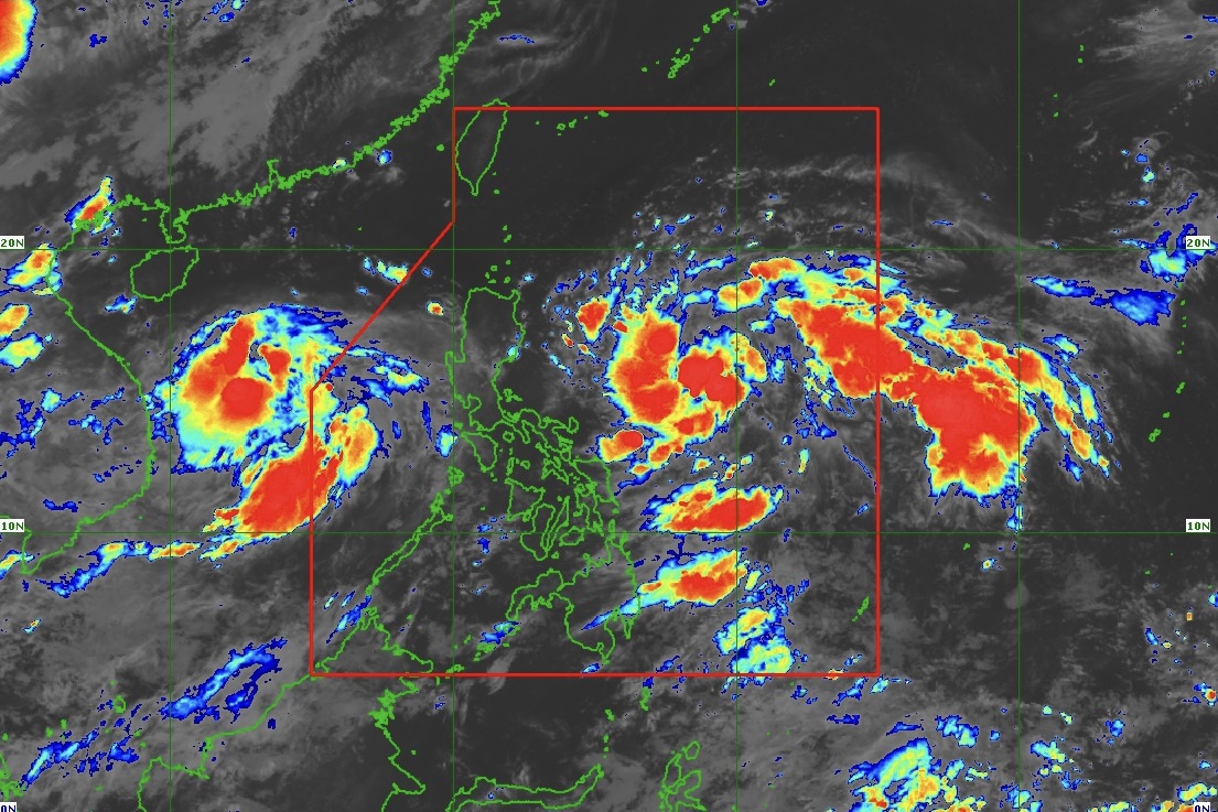
State weather bureau PAGASA issued a weather bulletin on July 20, 2024 stating that the center of Tropical Depression (TD) "Butchoy" was estimated based on all available data at 615 km West of Tanauan City, Batangas or 525 km West of Subic Bay (14.5°N, 115.4°E) with maximum sustained winds of 55 km/h near the center and gustiness of up to 70 km/h.
It is moving West Northwestward at 20 km/h.
Meanwhile, the other LPA spotted earlier over Eastern Visayas has also developed into a tropical depression.
The center of TD "Carina" was estimated based on all available data at 645 km East of Virac, Catanduanes (14.6°N, 130.1°E) with maximum sustained winds of 55 km/h near the center and gustiness of up to 70 km/h. It is moving Northwestward at 30 km/h.
Antique, Palawan including Kalayaan Islands and Occidental Mindoro will have cloudy skies with scattered rainshowers and thunderstorms due to the Southwest Monsoon.
The rest of the Visayas will have partly cloudy to cloudy skies with isolated rainshowers and/or thunderstorms due to the Southwest Monsoon.
Moderate to Strong winds from Southwest to Southeast will prevail over Palawan and Occidental Mindoro with moderate to rough seas.
Light to moderate winds from South to Southwest will prevail over the whole Visayas with light to moderate seas.
The weather bulletin issued at 5 a.m. is valid until 5 a.m. of July 21, 2024.
