

EXPLAINER: What is the Sabina Shoal and why is it important?
It has been eight years since the Permanent Court of Arbitration (PCA) in The Hague, Netherlands invalidated China’s nine-dash line claim over the South China Sea, and yet several maritime zones of the Philippines remain under dispute to this day.
In this third part of the series tackling the contested features in the West Philippine Sea, GMA News Online looks into the Sabina Shoal, also known as Escoda Shoal.
PART 1: EXPLAINER: What is the Ayungin Shoal and why is it important?
PART 2: EXPLAINER: What is Scarborough Shoal and why is it important?
Location
Located 75 nautical miles or about 140 kilometers off Palawan, Sabina Shoal is a coral reef formation with a central lagoon surrounded by discontinuous shallow sections.
It is considered to be within the Philippines’ 200-nautical mile exclusive economic zone (EEZ) under the 1982 United Nations Convention on the Law of the Sea.
Protect at all cost
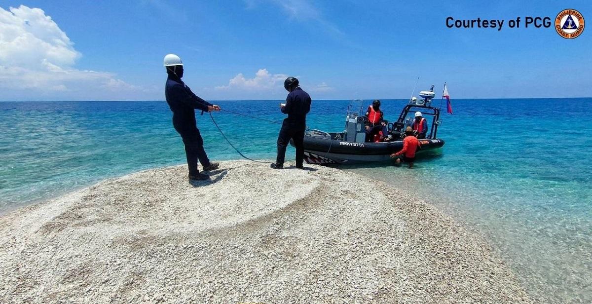
In April, the Philippine Coast Guard (PCG) deployed its largest ship BRP Teresa Magbanua to monitor China's alleged reclamation activities in Sabina Shoal, as crushed corals were found dumped in the contested territory.
Chinese researchers were also reportedly spotted in the maritime zone.
Retired Supreme Court senior associate justice Antonio Carpio said Philippine forces need to protect the Sabina Shoal because of its proximity to Recto (Reed) Bank, which has rich oil deposits.
Approximately located 193 kilometers from Sabina Shoal, Recto Bank has oil deposits which are two to three times larger than the Malampaya natural gas field in northern Palawan, Carpio said.
The harassment continues
Despite the presence of BRP Teresa Magbanua, Chinese vessels continue to sail near Sabina Shoal, which is also a rendezvous point for resupply missions for Filipino troops at the BRP Sierra Madre in Ayungin Shoal.
The People's Liberation Army Navy of China also conducted maneuvers in Sabina Shoal using a hovercraft and aircraft and another military exercise during the Philippines’ marine scientific survey.
The two countries engaged in a tense face-off after Chinese forces attempted to block the marine scientific research mission of the University of the Philippines. No injuries were reported.
The marine scientific survey showed that corals in Sabina Shoal are “almost 100% dead” as there was extensive bleaching, the UP scientists said.
Iroquois Reef
As the tension continues, other reefs in the West Philippine Sea are also caught up between the Philippines and China
Located 128 nautical miles from Palawan and in the southern part of Recto Bank or Reed Bank, Iroquois Reef falls within the Philippine EEZ.
Earlier this month, the Armed Forces of the Philippines (AFP) and PCG intensified its patrols in Iroquois Reef as Chinese vessels were spotted “swarming” in the contested area.
The PCG said this move may mean that China is eyeing to take control of the area.
It also noted that to drive away foreign vessels in the West Philippine Sea, Philippine authorities immediately publicize the swarming incidents and deploy coast guard vessels and AFP assets.
Rozul Reef
The Department of Justice has recommended the filing of an environmental case against China for the massive coral harvesting along Rozul Reef located in the southernmost part of Recto Bank, found in 2023.
Since 2013, China has built seven artificial islands in the West Philippine Sea, according to the Asia Maritime Transparency Initiative. Most of them now serve as military bases.
According to a Center for Strategies and International Studies report, China has occupied the Mischief (Panganiban) Reef, Subi (Zamora) Reef, Fiery Cross (Kagitingan) Reef, Gaven (Burgos) Reef, Hughes (McKennan) Reef, and Cuarteron (Calderon) Reef, which are part of the Philippine exclusive economic zone. —KG, GMA Integrated News
