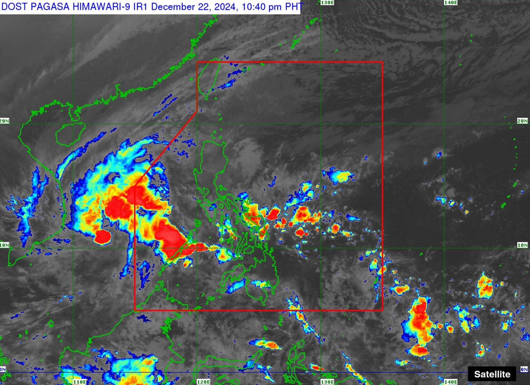
Signal No. 1 over Kalayaan Islands as Romina moves northwest

Storm Signal No. 1 remains hoisted over the Kalayaan Islands as Tropical Depression Romina moves northwest over the western portion of the island group on Sunday evening.
In its 11 p.m. tropical cyclone bulletin, PAGASA warned of heavy to intense rainfall (100 to 200 mm) in Palawan due to the shear line and Romina from Sunday night to Monday evening; and moderate to heavy rainfall (50 to 100 mm) within the same period for Quezon, Oriental Mindoro, Marinduque, Romblon, Catanduanes, Camarines Norte, Camarines Sur, Albay, Sorsogon, Masbate, Antique, Aklan, Capiz, Iloilo, Guimaras, and Northern Samar.
Signal No. 1 remains over Kalayaan Islands in Palawan as Romina moves northwest at 25 km/h with maximum sustained winds of 55 km/h near the center and gustiness of up to 70 km/h.
As of 10 p.m. the center of the tropical depression is estimated to be 165 km west-southwest of Pag-asa Island, already outside the Philippine Area of Responsibility (PAR).
Very rough seas (up to 4.5-meter waves) are possible in the seaboards of Batanes, Babuyan Islands, Ilocos Norte, and Kalayaan Islands. This means that in these areas, "Sea travel is risky for all types or tonnage of vessels. All mariners must remain in port or, if underway, seek shelter or safe harbor as soon as possible until winds and waves subside," PAGASA said.
Romina could intensify into a tropical storm within the next 12 hours, then weaken into a tropical depression by Monday evening. — BM, GMA Integrated News


