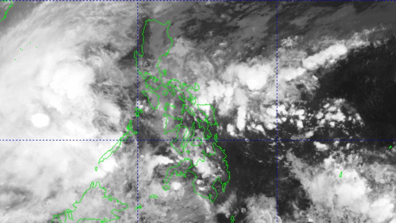
2 areas under Signal No. 1 as Romina nears Kalayaan Islands

Signal No. 1 was raised over two areas in Luzon as Tropical Depression Romina moved closer to the Kalaayaan Islands.
According to the 5 p.m. PAGASA tropical cyclone bulletin, Romina remains outside the Philippine Area of Responsibility.
It has maximum sustained winds of 55 kilometers per hour near the center and gustiness of up to 70 kph, and moving northward at 35 kph.
The southern portion of Palawan (Balabac) and Kalayaan Islands are under Signal No. 1.
Winds of 39-61 kph may be expected in at least 36 hours or intermittent rains may be expected within 36 hours, which may cause very light or no damage to low-risk structures.
PAGASA said Signal No. 2 may be the highest wind signal hoisted during the occurrence of Romina.
A gale warning is hoisted over the northern and western seaboards of Northern Luzon and the western seaboard of Southern Luzon.
“Romina may pass near the southern portion of the Kalayaan Islands area in the next 24 hours. It must be noted that a brief entry within the Philippine Area of Responsibility is not ruled out,” the state weather bureau said.
PAGASA added that Romina may briefly reach the tropical storm category within the next 12 hours before weakening into a tropical depression for the rest of the forecast period.
Romina is seen to turn northwestward or west northwestward within the forecast period.
—Mariel Celine Serquiña/RF, GMA Integrated News


