LPA east of Mindanao may develop into tropical depression

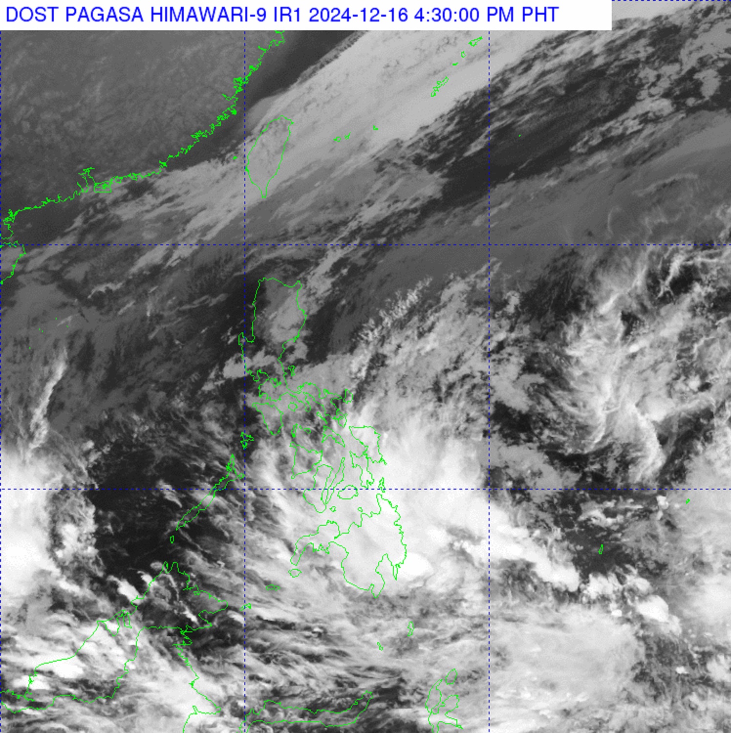
The Philippine Atmospheric, Geophysical, and Astronomical Services Administration (PAGASA) reported on Monday afternoon that a low-pressure area (LPA) east of Mindanao has a “medium” likelihood of developing into a tropical depression within the next 24 hours.
As of 3 p.m., the LPA was 225 kilometers east-southeast of Tagum City, Davao del Norte, and is embedded within the Intertropical Convergence Zone (ITCZ).
The LPA will bring cloudy conditions, scattered rain, and thunderstorms over the Caraga and Davao Regions.
Negros Island, the Central Visayas, Eastern Visayas, and the rest of Mindanao would also experience cloudy conditions with scattered rain and thunderstorms, but this time due to the ITCZ.
The Bicol Region and Quezon will be affected by a shear line, resulting in cloudy skies and scattered rains.
The Cagayan Valley, Cordillera, and Aurora will be under the influence of the Northeast Monsoon (Amihan) and will experience cloudy skies with rains.
PAGASA cautions residents in these areas about moderate to heavy rains, which may lead to flash floods or landslides.
Metro Manila and the rest of Luzon will experience partly cloudy to cloudy skies with isolated light rains due to the Amihan, with no expected significant weather impacts.
The Eastern Visayas and Mindanao will see partly cloudy to cloudy skies with isolated rain showers or thunderstorms.
Meanwhile, winds will be strong, with sea conditions expected to be rough, across Northern and Central Luzon.
Winds will range from moderate to strong across the rest of Luzon and the eastern sections of the Visayas and Mindanao, with coastal waters ranging from moderate to rough.
PAGASA warned residents of affected areas to remain vigilant against flash floods or landslides during severe thunderstorms.
For Tuesday, sunrise is expected at 6:14 a.m. — DVM, GMA Integrated News


