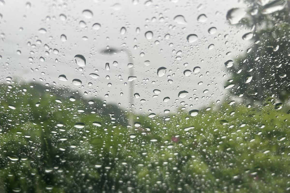
PAGASA: Cyclone may develop, enter PAR from Dec. 16 to 22

A tropical cyclone may develop and enter the Philippine area of responsibility (PAR) within the period of December 16 to 22, state weather bureau PAGASA said.
In its Tropical Cyclone Threat Potential Forecast issued on Monday, PAGASA said the possible weather disturbance may move towards the Visayas - Southern Luzon area.
"Model forecasts suggest that formation of a tropical cyclone-like vortex (TCLV) is likely during the forecast period," PAGASA said.
"TCLV will likely emerge over the southern part of the TC Advisory Domain with a low to moderate likelihood of TC-development and is forecasted to enter the PAR and move towards the Visayas - Southern Luzon area," it added.
Currently, PAGASA said the tropical cyclone-like vortex has a low to moderate chance to develop into a tropical cyclone.
Meanwhile, PAGASA on Tuesday said rains are expected in the coming days as the Intertropical Convergence Zone (ITCZ) is affecting the western section of Mindanao and Palawan; the Shear Line is affecting the eastern sections of Central and Southern Luzon; and the Northeast Monsoon or Amihan is affecting Northern Luzon and the rest of Central Luzon.
Cloudy skies with scattered rains and isolated thunderstorms may be experienced in Metro Manila, CALABARZON, Bicol Region, Marinduque, Oriental Mindoro, Bulacan, and Aurora.
Zamboanga del Norte and Palawan were expected to experience cloudy skies with scattered rains and thunderstorms.
Cloudy skies with rains are possible in Cagayan Valley, Apayao, Kalinga, Mountain Province, and Ifugao.
Partly cloudy to cloudy skies with isolated light rains may be experienced over Ilocos Region and the rest of Cordillera Administrative Region and Central Luzon.
Partly cloudy to cloudy skies with isolated rainshowers or thunderstorms are expected over the rest of the country.
PAGASA warned of possible flash floods and landslides in severely affected areas. — VDV, GMA Integrated News

Need a wellness break? Sign up for The Boost!
Stay up-to-date with the latest health and wellness reads.
Please enter a valid email address
Your email is safe with us


