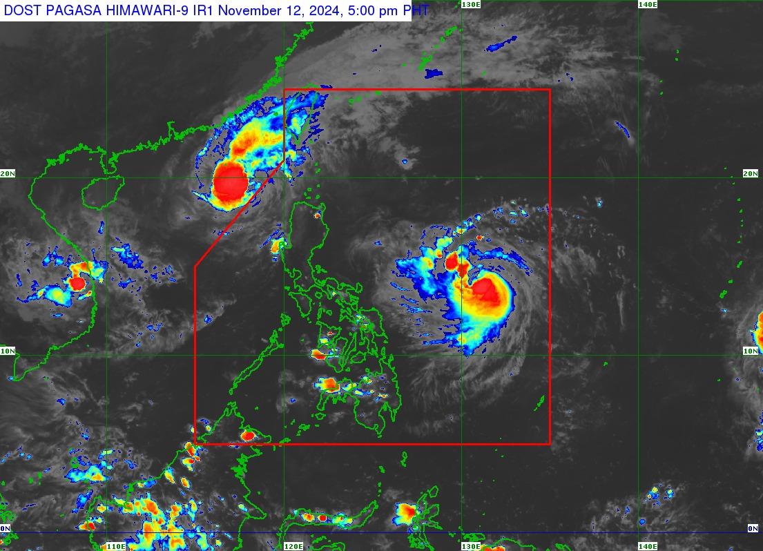
Ofel intensifies into severe tropical storm

Ofel has intensified into a severe tropical storm on Tuesday afternoon as it traverses over the Philippine Sea, PAGASA said.
According to the state weather bureau’s 5 p.m. bulletin, the center of the storm was spotted 780 kilometers east of Virac, Catanduanes as it moves west northwestward at 30 kilometers per hour.
Ofel has maximum sustained winds of 95 kph near the center and gustiness of up to 115 kph.
While no areas are yet to be placed under any tropical cyclone wind signals, PAGASA warned that Signal No. 1 may be hoisted over portions of Cagayan Valley on Tuesday evening or Wednesday morning.
Further, PAGASA said that Ofel is forecast to make a landfall along the east coast of Cagayan or Isabela on the afternoon or evening of Thursday, November 14.
“Regardless of the position of the landfall point, it must be emphasized that hazards on land and coastal waters may still be experienced in areas outside the landfall point or forecast confidence cone,” it said.
“This tropical cyclone is forecast to steadily intensify in the next three days and reach typhoon category tomorrow (November 13) afternoon or evening. OFEL will possibly make landfall at peak intensity.” — Vince Angelo Ferreras/BM, GMA Integrated News


