

Leon slightly intensifies as it moves west over Philippine Sea
Tropical Storm Leon (international name: Kong-Rey) has slightly intensified over the Philippine Sea, state weather bureau PAGASA said late Sunday afternoon.
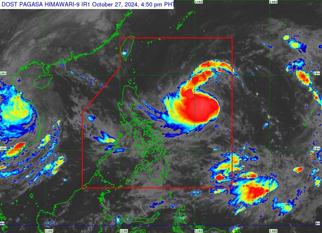
At 4 p.m., Leon was observed over 1,000 km east of central Luzon, with maximum sustained winds of 75 km/h near the center and gustiness of up to 90 km/h, moving westward at 20 km/h.
PAGASA said Leon may affect extreme northern Luzon depending on how close it will be during its north northwestward movement over the Philippine Sea.
“It may also continue to influence the Southwesterly Windflow initially triggered by Tropical Storm TRAMI (formerly KRISTINE), which may affect the Visayas, Mindanao, and the western section of Southern Luzon. A Weather Advisory may be issued in the coming hours,” PAGASA said.
Signal No. 1 may be hoisted over portions of Cagayan Valley and the northeastern portion of Bicol Region on Sunday evening or Monday.
PAGASA said strong to gale-force gusts will occur over Batanes, Babuyan Islands, Batangas, most of MIMAROPA, most of Bicol Region, Visayas, most of Northern Mindanao, and most of Caraga Region on Monday.
Rough seas are occurring in the seaboard of Batanes, Kalayaan Islands and Babuyan Islands; the northern and eastern seaboards of mainland Cagayan Valley and Catanduanes.
Small vessels were advised to not sail due to the risk of sea travel.
“Leon remains far from the Philippine landmass and may pass very close or make landfall over Taiwan or the southwestern portion of the Ryukyu Islands,” PAGASA said.
“This tropical cyclone is expected to gradually intensify in the next 24 hours and may reach severe tropical storm category tomorrow and typhoon category on Tuesday. This tropical cyclone may also undergo rapid intensification,” it added. — Mariel Celine Serquiña/BM, GMA Integrated News
