

Kristine moves away from Ilocos, 3 areas under Signal No. 3
Three areas remained under Signal No. 3 as Severe Tropical Storm Kristine (international name: Trami) continued to move slowly away from the Philippine landmass, PAGASA said late Thursday afternoon.
PAGASA's 5 p.m. bulletin said Signal No. 3 was hoisted over Ilocos Sur, La Union, and Pangasinan.
Meanwhile, the following areas are under Signal No. 2:
- Cagayan including Babuyan Islands
- Isabela
- Quirino
- Nueva Vizcaya
- Apayao
- Kalinga
- Abra
- Ifugao
- Mountain Province
- Benguet
- Ilocos Norte
- Aurora
- Nueva Ecija
- Tarlac
- Zambales
- Bataan
- Pampanga
- Bulacan
Signal No. 1 was raised over the following areas:
- Batanes
- Metro Manila
- Rizal
- Batangas
- Laguna
- Cavite
- Quezon
- Occidental Mindoro
- Oriental Mindoro
- Marinduque
- Romblon
- the northern portion of mainland Palawan (El Nido, Taytay, Araceli, San Vicente, Dumaran, Roxas) including Calamian Islands, Cuyo, and Kalayaan Islands
- Camarines Norte
- Camarines Sur
- Catanduanes
- Albay
- Sorsogon
- Masbate including Ticao and Burias Islands
- Aklan
- Capiz
- Antique including Caluya Islands
- Iloilo
- Bantayan Islands
- Northern Samar
- the northern portion of Samar (Calbayog City, Almagro, Tagapul-An, Santo Nino)
PAGASA also warned of minimal to moderate risk of storm surge with peak heights of around 1.0 to 2.0 m above normal tide levels in the next 48 hours over the low-lying or coastal localities of Ilocos Sur, La Union, Pangasinan, Cagayan, Isabela, Aurora, and Zambales.
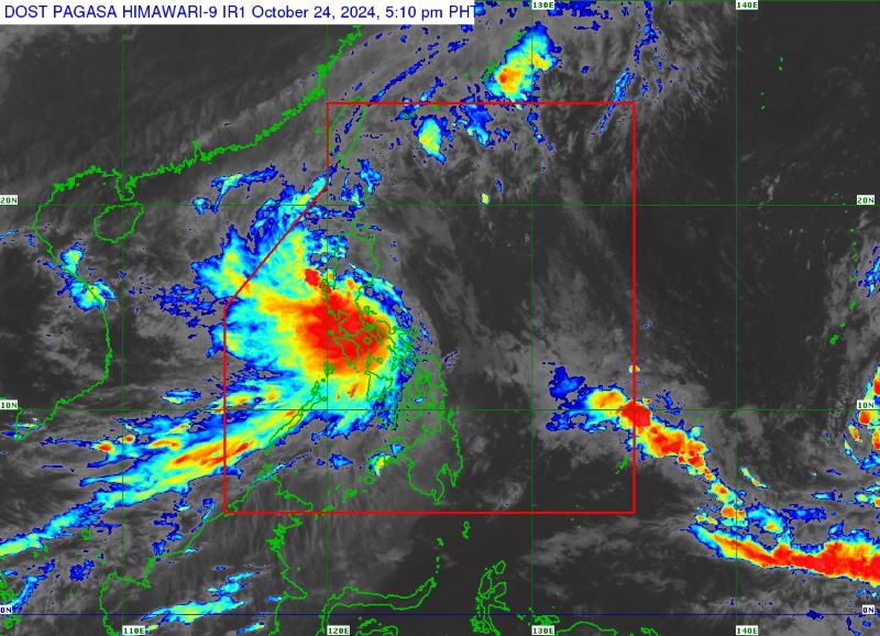
At 4 p.m., Kristine was observed over the coastal waters of Santa Lucia, Ilocos Sur, with maximum sustained winds of 95 km/h near the center and gustiness of up to 145 km/h, moving westward slowly.
It will then move westward or west northwestward over the West Philippine Sea and exit the Philippine Area of Responsibility Friday afternoon.
PAGASA said Kristine will be looping over the West Philippine Sea on Sunday and Monday and move eastward or east northwestward towards the general direction of the PAR region.
“This scenario heavily depends on the behavior of the weather disturbance east of the PAR region, which is expected to develop into a tropical depression within the next 24 hours,” state meteorologists said.
“Kristine is forecast to re-intensify as it moves over the West Philippine Sea. While it is likely that the tropical cyclone will remain a severe tropical storm in the next five days, the chance for it to be upgraded into a typhoon is not ruled out,” it added. — Mariel Celine Serquiña/VBL, GMA Integrated News
