

Julian now a tropical depression; ITCZ to bring rains over parts of PH
Julian has further weakened into a tropical depression and is almost stationary early Friday morning, according to the latest Tropical Cyclone Bulleting posted by PAGASA.
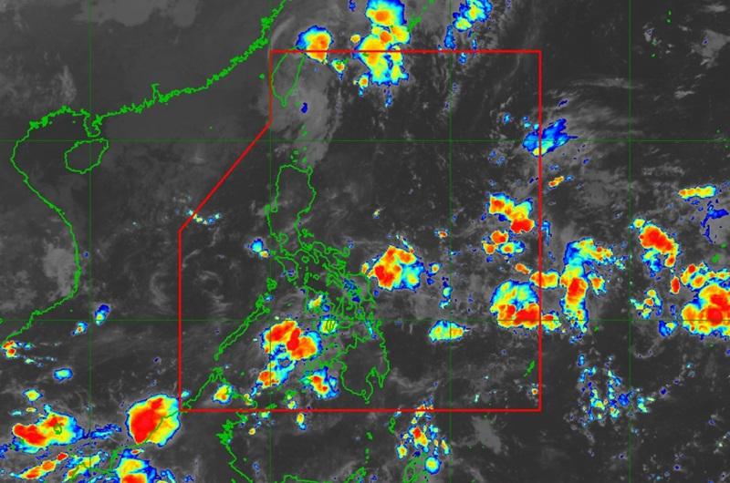
Meanwhile, the Intertropical Convergence Zone (ITCZ) will bring cloudy skies and rains over parts of the country.
The center of the eye of Tropical Depression Julian was estimated at 240 kilometers north northwest of Itbayat, Batanes packing maximum sustained winds of 45 kilometers per hour near the center, gustiness of up to 55 kph and moving almost stationary.
No Tropical Cyclone Wind Signal is raised by the weather bureau.
Julian is forecast to weaken into a remnant low today over the landmass of Taiwan or the sea southwest of Taiwan.
24-Hour Sea Condition Outlook
Meanwhile, moderate or rough seas over the following coastal waters:
Up to 3.5 m over the seaboards of Batanes, Babuyan Islands, and Ilocos Norte
Up to 3.0 m over the remaining seaboards of Ilocos Region and the seaboard of Zambales
Up to 2.5 m over the northern seaboard of mainland Cagayan, the seaboard of Bataan, the western seaboard of Lubang Island, the western seaboard of Calamian Islands, the western seaboard of northern mainland Palawan, and the seaboard of Kalayaan Islands
"Mariners of small seacrafts, including all types of motorbancas, are advised not to venture out to sea under these conditions, especially if inexperienced or operating ill-equipped vessels," PAGASA advised.
Forecast Weather Conditions
Bicol Region, Visayas, and Zamboanga Peninsula will have cloudy skies with scattered rains and thunderstorms due to the ITCZ with the possibility that flash floods or landslides may occur due to moderate to at times heavy rains.
Ilocos Region, Cordillera Administrative Region, Cagayan Valley, and Central Luzon will have partly cloudy to cloudy skies with isolated rain showers or thunderstorms due to the easterlies with the possibility that flash floods or landslides may occur during severe thunderstorms.
Metro Manila and the rest of country will have partly cloudy to cloudy skies with isolated rain showers or thunderstorms due to the ITCZ with the possibility that flash floods or landslides may occur during severe thunderstorms.
Forecast Wind and Coastal Water Condition
The wind speed forecast for northern and western sections of Northern and Central Luzon is moderate to strong moving in the northwest to northeast direction with moderate to rough coastal waters.
Visayas and the rest of Luzon will experience light to moderate wind speed moving in the east to northeast direction with slight to moderate coastal waters.
Mindanao will experience light to moderate wind speed moving in the southwest to southeast direction while coastal waters will be slight to moderate.
Sunrise will be at 5:46 a.m., sunset at 5:43 p.m. — BAP, GMA Integrated News
