

PAGASA: LPA inside PAR could turn into a storm
PAGASA on Sunday afternoon said a Low Pressure Area (LPA) inside the Philippine Area of Responsibility (PAR) could become a storm in the next few days.
Weather Specialist Ana Clauren-Jorda said once the LPA turns into a storm, PAGASA will immediately raise a tropical cyclone wind signal in the Eastern portion of Cagayan or Isabela or the eastern section of Luzon.
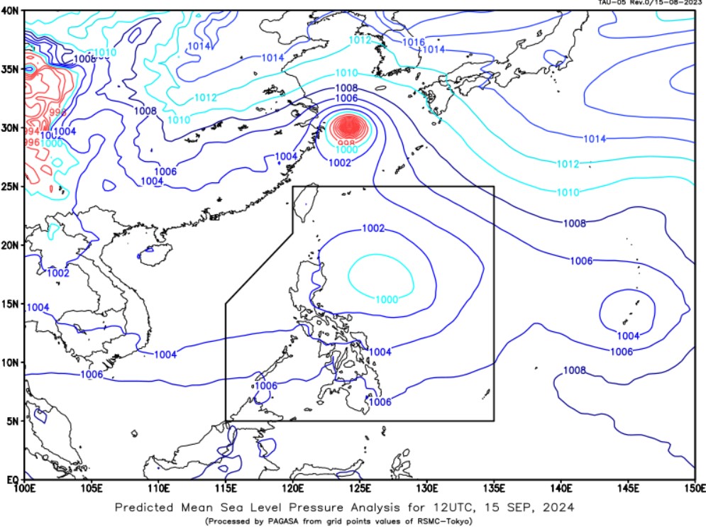
The LPA was last located 460 kilometers (km) east of Casiguran, Aurora.
She added that despite the LPA's failure to become a storm, it may bring moderate to heavy rains in Cagayan and Isabela in the next few days.
Meanwhile, the state weather bureau said an LPA outside PAR located 2,160 km east of Eastern Visayas has a medium chance of becoming a storm, Clauren-Jorda said.
She added that the LPA outside PAR has no direct impact on the country’s weather conditions since it is far from the land mass.
However, it may enhance the Southwest Monsoon (Habagat) in the coming days where it will bring rainy conditions in portions of the country.
The trough of the Low Pressure Area inside the Philippine Area of Responsibility (PAR) will experience cloudy skies with scattered rains and thunderstorms over Cagayan and Isabela, PAGASA said in a forecast.
Possible flash floods or landslides may persist in affected areas due to moderate to at times heavy rains.
Meanwhile, the Habagat will continue to affect Southern Luzon, Visayas, and Mindanao and will bring rains over several areas in the country within the next 24 hours, state meteoroligists said.
The northern portion of Palawan, Occidental Mindoro, Aklan, Antique, and Negros Occidental may have monsoon rains, with the possibility of flash floods or landslides due to heavy to intense rains.
Habagat will bring occasional rains over the rest of Mimaropa, Western Visayas, and Negros Island Region.
Zamboanga Peninsula, BARMM, Soccsksargen, Caraga, Northern Mindanao, Bicol Region, Batangas, the southern portion of Quezon, Zambales, Bataan, and the rest of Visayas will have cloudy skies with scattered rains and thunderstorms due to Habagat.
Moderate to at times heavy rains may cause flash floods or landslides, PAGASA said.
Partly cloudy to cloudy skies with isolated rain showers or thunderstorms may persist over Metro Manila, and the rest of CALABARZON and Mindanao also due to Habagat.
Meanwhile, the rest of Luzon will experience partly cloudy to cloudy skies with isolated rain showers or thunderstorms due to localized thunderstorms.
Residents of affected areas were warned against possible flash floods or landslides during severe thunderstorms.
PAGASA said the Visayas, the western section of Southern Luzon, and the western, northern, and eastern sections of Mindanao would experience strong wind and rough coastal conditions.
Moderate to strong wind and water conditions will persist for the rest of Southern Luzon and Mindanao.
Meanwhile, the rest of Luzon would experience light to strong wind and coastal conditions.
Sunrise in Metro Manila will be at 5:57 a.m. on Monday.—Mariel Celine Serquiña/RF, GMA Integrated News
