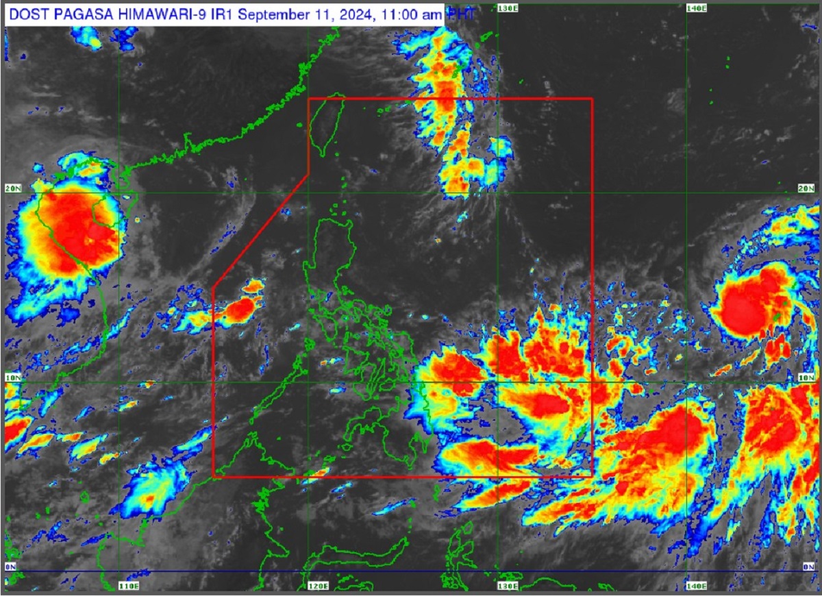
TS Bebinca expected to enter PAR as typhoon on Friday —PAGASA

Tropical Storm Bebinca is seen to intensify into a typhoon on Thursday before entering the Philippine area of responsibility (PAR) on Friday, state weather bureau PAGASA said on Wednesday.
“BEBINCA is expected to enter PAR on Friday afternoon or evening and exit PAR on Saturday morning. Throughout the forecast, this tropical cyclone will remain far from the Philippine landmass,” PAGASA said in an 11 a.m. advisory.
“BEBINCA is forecast to intensify into severe tropical storm within 24 hours and may reach typhoon category late Thursday,” it added.
As of 10 a.m., PAGASA said Bebinca was located 1,825 kilometers east northeast of Eastern Visayas or 1,955 km east of Southeastern Luzon, packing maximum sustained winds of 85 km per hour, gustiness of up to 105 kph, and central pressure of 992 hPa.
The tropical storm, which will be named Ferdie once it enters PAR, was moving westward at 25 kph.
Bebinca’s strong to gale-force winds extend outwards up to 480 km from the center, according to PAGASA.
Enhanced by Bebinca, the Southwest Monsoon or Habagat may bring heavy rainfall over Bicol Region, MIMAROPA, Visayas, and the northern and western portions of Mindanao.
Moderate seas are also expected over the western seaboard of Palawan including Kalayaan Islands of up to 2.5 meters, as well as the eastern seaboard of southern Palawan and the eastern seaboard of Mindanao of up to 2.0 meters in the next 24 hours. —KBK, GMA Integrated News


