

PAGASA: Chance of LPA inside PAR turning into storm possible
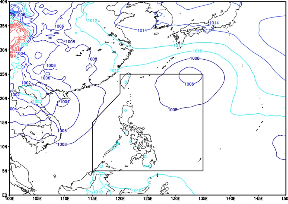
PAGASA said the low pressure area (LPA) that entered the Philippine Area of Responsibility (PAR) on Sunday morning has a low chance of becoming a storm within the next 24 hours.
However, PAGASA Weather Specialist Verinoca Torres said the state weather bureau does not rule out that the LPA may develop into a storm.
The LPA was last located 1,340 kilometers east northeast of extreme northern Luzon and is seen to move along the boundary of the PAR line.
Torres said when the LPA nears the extreme northern part of Luzon, it may affect the weather in the area.
Meanwhile, the Southwest Monsoon (Habagat) will bring rains over the northern and central parts of Luzon in the next 24 hours, PAGASA said in its forecast on Sunday afternoon.
Ilocos Region, Cagayan, Apayao, Abra, and Zambales may see cloudy skies with scattered rains and thunderstorms due to the Habagat.
Moderate to at times heavy rains may result in flash floods or landslides.
Metro Manila, and the rest of Cordillera Administrative Region, Cagayan Valley, Central Luzon may expect partly cloudy to cloudy skies with isolated rain showers or thunderstorms also due to the Habagat.
Residents of the affected area were warned of possible flash floods or landslides during severe thunderstorms.
The rest of the country will have cloudy to cloudy skies with isolated rain showers or thunderstorms due to localized thunderstorms.
Flash floods or landslides may occur during severe thunderstorms.
PAGASA said wind and coastal water conditions throughout the country will be light to moderate.
Sunrise will be at 5:45 a.m. on Monday. —Mariel Celine Serquiña/RF, GMA Integrated News
