

PAGASA: Enteng maintains strength over West Philippine Sea
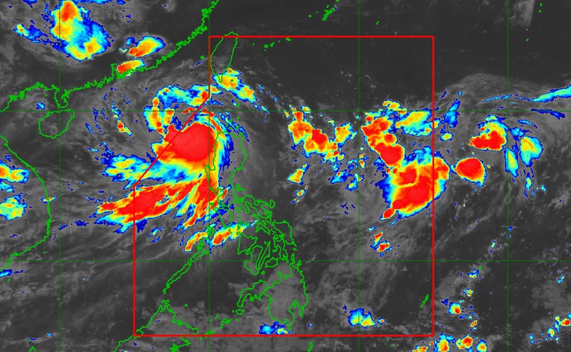
Severe Tropical Storm Enteng has maintained its strength while moving westward over the West Philippine Sea, PAGASA said late Tuesday night.
According to its 11 p.m. tropical cyclone bulletin, Signal No. 1 is raised over the following areas:
- Ilocos Norte,
- Ilocos Sur,
- the northern portion of La Union (Luna, Santol, San Juan, Bagulin, Bangar, San Gabriel, Bacnotan, Sudipen, Balaoan, City of San Fernando), and
- Abra
At 10 p.m., the center of Severe Tropical Storm Enteng was estimated based on all available data at 210 km West Northwest of Laoag City, Ilocos Norte.
It has maximum sustained winds of 95 kph near the center, gustiness of up to 115 kph, and central pressure of 985 hPa.
Enteng is moving west-northwestward at 10 kph.
It has strong to storm-force winds extending up to 320 kilometers from the center.
Enteng is expected to leave the Philippine Area of Responsibility early Wednesday morning.
Outside the PAR, Enteng will generally move westward until Thursday, then turn west-northwestward for the remainder of the forecast period. Enteng is forecast to make another landfall in the vicinity of southern mainland China during the weekend.
It is forecast to intensify throughout the forecast period and may become a typhoon on Thursday.
The tropical cyclone may also reach its peak intensity by Friday before making landfall in mainland China.
—NB, GMA Integrated News
