

Enteng intensifies into Severe Tropical Storm; Enhanced Habagat to be felt in Luzon, W. Visayas
Enteng has intensified into a Severe Tropical Storm on Tuesday afternoon, according to the latest weather bulletin from PAGASA.
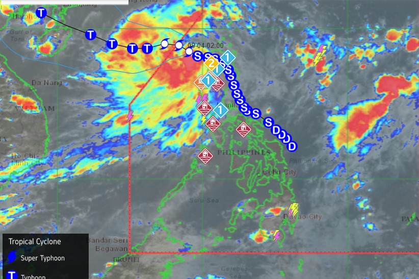
As of 5 p.m., the center of Severe Tropical Storm Enteng was estimated at 165 km West Northwest of Laoag City, Ilocos Norte (18.5°N, 119.0°E), moving west-northwestward at 10 km/h.
It contains strong to storm-force winds extending outwards up to 330 km from the center.
Tropical Cyclone Wind Signal (TCWS) No. 1 is still hoisted over the following areas:
- Ilocos Norte, Ilocos Sur
- The northern portion of La Union (Luna, Santol, San Juan, Bagulin, Bangar, San Gabriel, Bacnotan, Sudipen, Balaoan, City of San Fernando)
- Abra
Based on the track forecast, Enteng will exit the Philippine Area of Responsibility (PAR) on Wednesday morning.
“Outside the PAR region, the tropical storm will generally move westward until Friday morning, then turn west northwestward for the remainder of the forecast period. Enteng is forecast to make another landfall in the vicinity of southern mainland China during the weekend,” the state weather bureau said.
Enteng is expected to intensify throughout the forecast period and may become a typhoon on Thursday, it added.
It may also reach its peak intensity by late Friday or early Saturday prior to making landfall in mainland China.
Meanwhile, the enhanced Southwest Monsoon or Habagat will also bring strong to gale-force gusts over llocos Region, Cordillera Administrative Region, Nueva Vizcaya, Quirino, Zambales, Bataan, Aurora, Bulacan, Metro Manila, CALABARZON, MIMAROPA, Bicol Region, Western Visayas, Negros Island, and Northern Samar.—Sherylin Untalan/RF, GMA Integrated News
