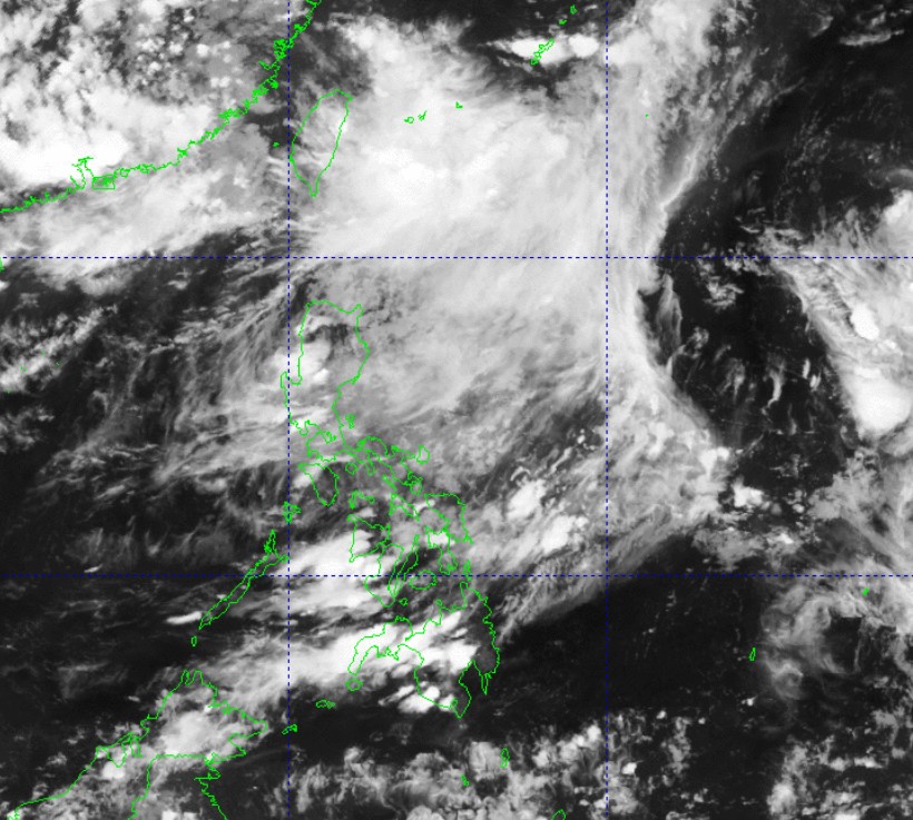
PAGASA monitoring two LPAs near PAR

PAGASA said Sunday afternoon it has spotted two low pressure areas (LPA), one of which is inside the Philippine Area of Responsibility (PAR) near Batanes.
Weather Specialist Veronica Torres said said chances are increasing that the LPA inside PAR may develop into a storm in the next 24 hours.
Torres added that within the time period, the LPA may also exit PAR.
It was last monitored at 640 kilometers Northeast of Itbayat, Batanes.
Meanwhile, the Southwest Monsoon (Habagat) is expected to bring scattered rains and thunderstorms over Batanes and Babuyan Islands, PAGASA said in its weather forecast.
Residents in the affected areas are warned of possible flash floods or landslides due to moderate to heavy rains.
Meanwhile, Metro Manila and the rest of the country may experience partly cloudy to cloudy skies with isolated rain showers or thunderstorms due to localized thunderstorms.
PAGASA warned that these severe thunderstorms may cause flash floods or landslides.
The state weather bureau added the country will experience light to moderate winds and coastal conditions.
Sunrise in Metro Manila will be at 5:43 a.m. on Monday.—Mariel Celine Serquiña/RF, GMA Integrated News


