

PAGASA monitors LPA near Agusan del Norte
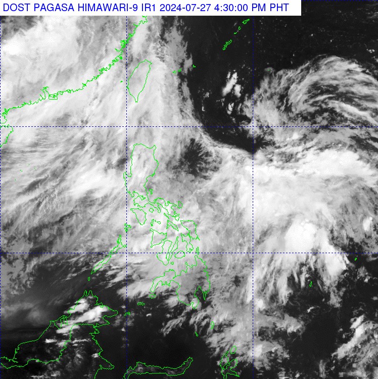
A low pressure area (LPA) was spotted 770 kms east of Butuan City in Agusan del Norte as the Southwest Monsoon or Habagat continues to bring cloudy skies over the western portions of Luzon and Visayas.
According to PAGASA's daily weather forecast at 4 p.m. on Saturday, the trough of the LPA may cause cloudy skies with scattered rains and thunderstorms over Bicol Region, Eastern Visayas, Northern Mindanao, Surigao del Norte, Surigao del Sur, Dinagat Islands, and Quezon.
The effects of the Habagat may bring cloudy skies with scattered rains and thunderstorms over Ilocos Region, Batanes, Babuyan Islands, Zambales, and Bataan, and partly cloudy to cloudy skies with isolated rainshowers or thunderstorms in Metro Manila, Western Visayas, Cavite, Laguna, Batangas, Occidental Mindoro, and Palawan.
The rest of the country will feel partly cloudy to cloudy skies with isolated rainshowers or thunderstorms caused by localized thunderstorms.
Meanwhile, moderate to strong winds with moderate to rough seas may be observed over the northern and western sections of Luzon as the rest of the Philippines experiences light to moderate winds with slight to moderate coastal waters.
Sunrise in Metro Manila will be at 5:38 a.m. on Sunday.
Compared to data on PAGASA's 3 a.m. advisory, the LPA appeared to move closer to the Philippine landmass as it was located earlier at a more distant 1,035 kms from southeastern Mindanao.
PAGASA said in the same advisory that the chance of the LPA becoming a tropical depression was low. — VDV, GMA Integrated News
