

Butchoy, Carina remain in PAR as Habagat brings rain over parts of PH
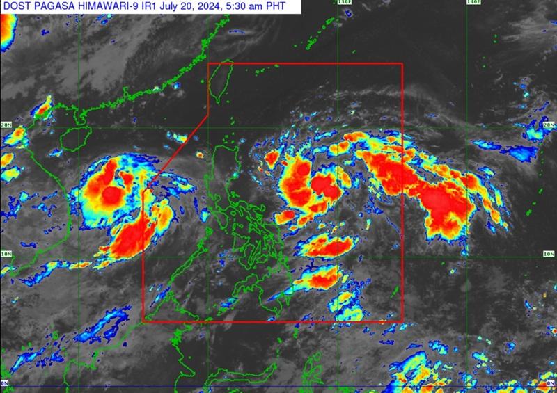
Tropical Depressions Butchoy and Carina will have minimal to no effect on any part of the country on Saturday as the Southwest Monsoon or Habagat is forecasted to bring cloudy skies with rains over several areas, PAGASA reported.
Carina is forecasted to intensify in the next few days while Butchoy will be outside the Philippine Area of Responsibility (PAR) by Saturday morning.
The Southwest Monsoon that will be enhanced by Butchoy and Carina will bring moderate to heavy rains over the western portion of Luzon over the next three days and gusty conditions over the Kalayaan Islands.
Antique, Palawan, Occidental Mindoro, Zambales, and Bataan will bring cloudy skies with scattered rain showers and thunderstorms due to the Southwest Monsoon with possible flash floods or landslides occurring due to moderate to heavy rains.
Mindanao, the rest of Visayas, and the rest of MIMAROPA will have partly cloudy to cloudy skies with isolated rain showers or thunderstorms due to the Southwest Monsoon with flash floods or landslides possibly occurring during severe thunderstorms.
Metro Manila and the rest of Luzon will have partly cloudy to cloudy skies with isolated rain showers or thunderstorms due to localized thunderstorms. Flash floods or landslides may possibly occur during severe thunderstorms.
Tropical Depression Carina
The center of Tropical Depression Carina was estimated at 645 kilometers east of Virac, Catanduanes with maximum sustained winds of 55 km/h near the center and gustiness of up to 70 km/h, and moving northwestward at 30 km/h.
Carina slightly intensified while moving northwestward over the Philippine Sea with strong winds extending outwards up to 150 km from the center.
There are no Tropical Cyclone Wind Signals (TCWS) hoisted at this time.
PAGASA reported that heavy rainfall directly caused by Carina remains less likely over the next three days but there may be changes in the succeeding bulletins.
The Southwest Monsoon that will be enhanced by Butchoy and Carina will bring moderate to heavy rains over the western portion of Luzon over the next three days and gusty conditions over the Kalayaan Islands.
Carina is forecast to move generally northwestward until Sunday while gradually decelerating and steadily intensifying. It is also expected to reach tropical storm category within the next 24 hours.
"Beginning on Monday, the tropical cyclone will likely intensify further at a faster rate, eventually reaching typhoon category on Tuesday," said PAGASA.
Tropical Depression Butchoy
The center of Tropical Depression Butchoy meanwhile was estimated at 615 kilometers west of Tanauan City, Batangas or 525 km west of Subic Bay with maximum sustained winds of 55 kilometers per hour near the center and gustiness of up to 70 km/h. Butchoy is moving west northwestward at 20 km/h.
Butchoy maintains its strength and is about to exit the PAR with strong winds extending outwards up to 150 km from the center.
No TCWS is hoisted at this time and Butchoy is unlikely to directly affect the country within the next three days.
In the next 24 hours, the Southwest Monsoon enhanced by Butchoy will bring slight to moderate seas over the coastal waters of Ilocos Region, Zambales, Bataan, Occidental Mindoro, and the northern portion of Palawan including Calamian (west coast) and Kalayaan Islands.
Mariners of motor bancas and similarly-sized vessels are advised to take precautionary measures while venturing out to sea.
Butchoy is forecast to move west northwestward today before turning more north northwestward on Sunday. On the track forecast, this tropical depression will exit the PAR region this morning.
The western section of Luzon will experience moderate to strong wind speed moving in the southwest to southeast direction with moderate to rough coastal waters.
Visayas and Mindanao will experience moderate to strong wind speed moving in the south to southwest direction while coastal waters will be moderate to rough.
The rest of Luzon will experience light to moderate wind speed moving in the northeast to northwest direction with slight to moderate coastal waters.
Sunrise will be at 5:36 a.m., sunset at 6:29 p.m. — BAP/KG, GMA Integrated News
