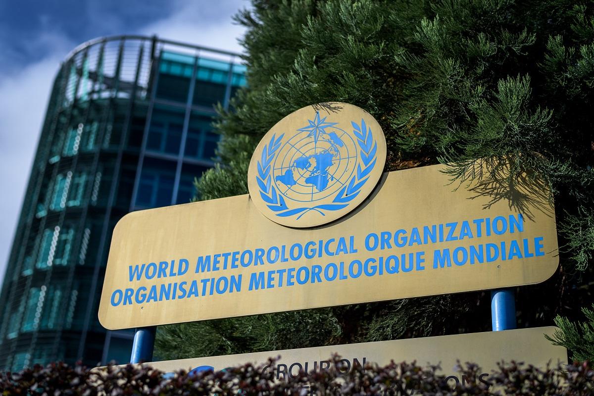
Above-normal temperatures for March-May due to El Nino - WMO

The warming El Niño weather phenomenon that peaked in December was one of the five strongest ever recorded, the United Nations said Tuesday, predicting that it would produce above-normal temperatures from now to May.
Though El Niño is now gradually weakening, its impact will continue over the coming months by fueling the heat trapped in the atmosphere by greenhouse gases, the UN's World Meteorological Organization (WMO) said.
Therefore "above normal temperatures are predicted over almost all land areas between March and May", the WMO said in a quarterly update.
El Niño, the large-scale warming of surface temperatures in the central and eastern equatorial Pacific Ocean, typically has the greatest impact on the global climate in the year after it develops, in this instance 2024.
It is a naturally occurring climate pattern typically associated with increased heat worldwide, as well as drought in some parts of the world and heavy rains elsewhere.
The weather phenomenon occurs on average every two to seven years, and episodes typically last nine to 12 months.
Conditions oscillate between El Niño and its generally cooling opposite La Nina, with neutral conditions in between.
Sea temperatures 'worrying'
"There is about a 60 percent chance of El Niño persisting during March-May and a 80 percent chance of neutral conditions in April to June," the WMO said.
There is a chance of La Nina developing later in the year, but the odds are currently uncertain, the WMO said.
WMO chief Celeste Saulo said the record temperatures recorded over recent months were exacerbated by the El Niño effect.
But it needed to be seen in the context of a climate being changed by human activities.
Concentrations of the three main greenhouse gases -- carbon dioxide, methane and nitrous oxide -- were chiefly to blame, Saulo said.
"Every month since June 2023 has set a new monthly temperature record -- and 2023 was by far the warmest year on record," she said.
"El Niño has contributed to these record temperatures, but heat-trapping greenhouse gases are unequivocally the main culprit.
"Ocean surface temperatures in the equatorial Pacific clearly reflect El Niño. But sea surface temperatures in other parts of the globe have been persistently and unusually high for the past 10 months," Saulo added.
"The January 2024 sea-surface temperature was by far the highest on record for January. This is worrying and can not be explained by El Nino alone."
Record heat
The current El Niño developed in June 2023 and was at its strongest between November and January.
It hit a peak of around 2.0 degrees Celsius (3.6 degrees Fahrenheit) above the 1991 to 2020 average sea surface temperature for the eastern and central tropical Pacific Ocean.
That made it one of the five strongest El Niño events ever.
El Niño events are typically associated with increased rainfall in parts of southern South America, the southern United States, the Horn of Africa and central Asia.
It can also cause severe droughts over Australia, Indonesia, parts of southern Asia, Central America and northern South America.
The WMO says the last El Niño was in 2015-2016.
From 2020 to early 2023, the world was affected by an unusually protracted La Niña, which lasted for three years.
It was the first so-called triple-dip La Nina of the 21st century and only the third since 1950.
But its cooling effects did not stop the nine hottest individual years on record all being from 2015 onwards.
The WMO has urged drastic greenhouse gas emissions cuts to combat climate change. — Agence France-Presse


