

Tropical Cyclone moves southwestward; to enter PAR this week
A Tropical Depression outside the Philippine Area of Responsibility (PAR) follows erratic movement over the waters east of Palau, PAGASA reported in its late Monday evening bulletin.
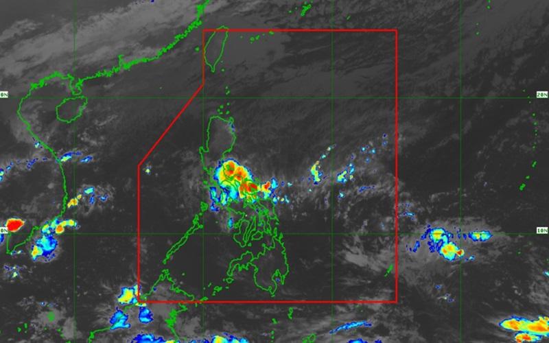
As of 10 p.m., the center of the Tropical Depression was estimated at 1,655 kilometers east of Southeastern Mindanao – outside PAR – packing maximum sustained winds of 45 kilometers per hour near the center, gustiness of up to 55 km/h, and central pressure of 1006 hPa.
The weather system is moving southeastward at a speed of 10 km/h with strong winds extend outwards up to 300 km from the center.
"The Tropical Depression is forecast move erratically and may meander near or around its present position in the next 12 to 24 hours as it remains highly disorganized. Afterwards, a generally accelerating movement towards the west or west northwestward is forecast to occur, with the tropical depression entering the PAR region on late Wednesday or early Thursday," said PAGASA.
Once the weather system moves inside the PAR, it will be called Kabayan.
"Within the PAR, the tropical depression will continue tracking westward until Friday, when it is expected to turn more northwestward over the waters east of Mindanao," the weather bureau added.
The tropical cyclone may weaken into a low pressure area in the next 12 to 24 hours.
"However, a slight improvement in environmental conditions may allow for some limited intensification by Wednesday, allowing the system to reach tropical storm category by Thursday, said PAGASA, adding that a possible surge of the northeast monsoon (amihan) may cause it to weaken towards the end of the forecast period.
The interaction between this tropical cyclone and a possible shear line related to the forecast surge of the amihan may result in heavy rainfall over the eastern Mindanao on Friday and over Bicol Region and most of Visayas, especially the eastern portion, on Saturday.
Gale warnings for coastal waters are currently being issued due to risky sea conditions caused by the surge of the northeast monsoon. Rough to very rough seas resulting from the ongoing and forecast surge of the Northeast Monsoon is forecasted over most of the seaboards of Luzon and the eastern seaboard of Visayas in the next five days and moderate to rough seas over the eastern seaboard of Mindanao beginning on Friday.
PAGASA issued an advisory for mariners of small seacraft, especially of motor bancas and similarly-sized vessels, to monitor for updates. — BAP, GMA Integrated News
