

LPA, localized thunderstorms to bring rains over parts of the country
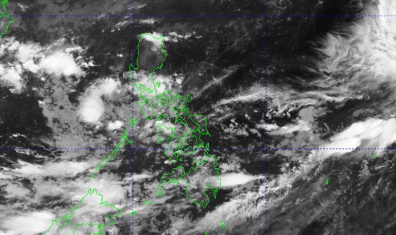
A Low Pressure Area (LPA) and localized thunderstorms are forecasted to bring cloudy skies and rain showers over parts of the country while another LPA was spotted near Palawan on Thursday, PAGASA reported.
The weather bureau is monitoring two LPAs; with one LPA estimated at 860 kilometers east of Eastern Visayas while the other LPA was estimated at 135 km West of Coron, Palawan.
The weather bureau is also monitoring an active tropical cyclone outside the Philippine Area of Responsibility (PAR), Super Typhoon Bolaven, located 2,190 kilometers east of extreme Northern Luzon packing maximum sustained winds of 215 kilometers per hour, gustiness of up to 265 km/h and moving north northwestward at the speed of 15 km/h.
Bicol Region, MIMAROPA, Quezon, Northern Samar and Eastern Samar will have cloudy skies with scattered rain showers and thunderstorms due to the LPA. Flash floods or landslides may occur in these areas due to moderate to at times heavy rains.
Metro Manila and the rest of the country will have partly cloudy to cloudy skies with isolated rain showers or thunderstorms due to localized thunderstorms. Flash floods or landslides may occur during severe thunderstorms.
The wind speed forecast for Northern Luzon is moderate to strong moving northeastward while coastal waters will be moderate to rough.
Visayas and the rest of Luzon will experience light to moderate wind speed moving in the northeast to northwest direction with slight to moderate coastal waters.
Mindanao, meanwhile, will experience light to moderate wind speed moving in the southwest to west direction while coastal waters will be slight to moderate.
Sunrise will be at 5:47 a.m., sunset at 5:38 p.m. — BAP, GMA Integrated News
