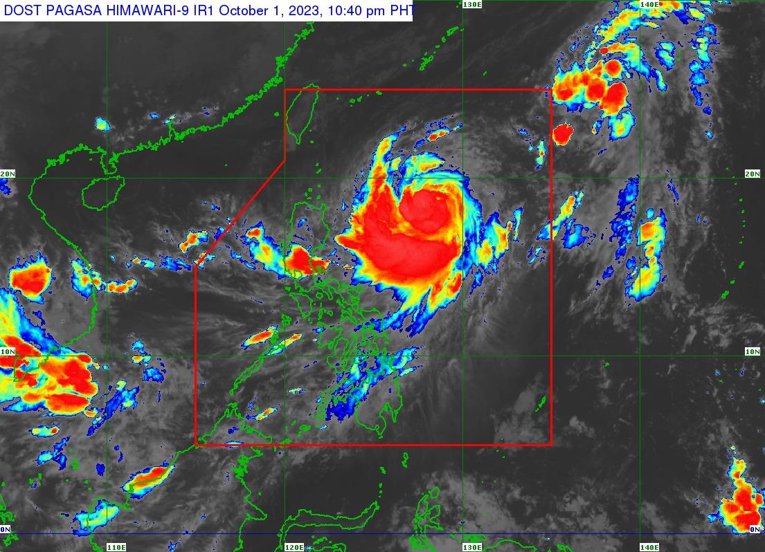
Jenny intensifies, may become typhoon Monday morning

Severe Tropical Storm Jenny further intensified and may become a typhoon Monday morning, PAGASA said late Sunday.
In its 11 p.m. tropical cyclone bulletin, the state weather bureau said that Batanes remains under Storm Signal No. 1 as Jenny nears typhoon category.
As of 10 p.m., Jenny was located at 715 km east of Aparri, Cagayan (18.4°N, 128.4°E), moving northwest at 10 km/h with maximum sustained winds of 110 km/h near the center, gustiness of up to 135 km/h, and central pressure of 980 hPa.
"Strong to storm-force winds extend outwards up to 560 km from the center," PAGASA said.
Jenny is expected to result in moderate to rough seas (2.0 to 4.0 m) off extreme northern Luzon and the northern portion of mainland Cagayan on Monday.
It may reach peak intensity on Tuesday and will continue to enhance the Southwest Monsoon and bring occasional monsoon rains over the western portions of Central Luzon, Southern Luzon, Visayas, and Mindanao in the next three days.
"The enhancement of the Southwest Monsoon by Jenny will bring gusty conditions for the next three days over the following areas not under any Wind Signal, especially in coastal and upland/mountainous areas exposed to winds," PAGASA added.
Jenny is forecast to make landfall over the southern portion of Taiwan on Thursday afternoon or evening, and exit the Philippine Area of Responsibility (PAR) over the Taiwan Strait between Thursday evening or Friday morning. — Sherylin Untalan/BM, GMA Integrated News


