

Jenny slightly intensifies
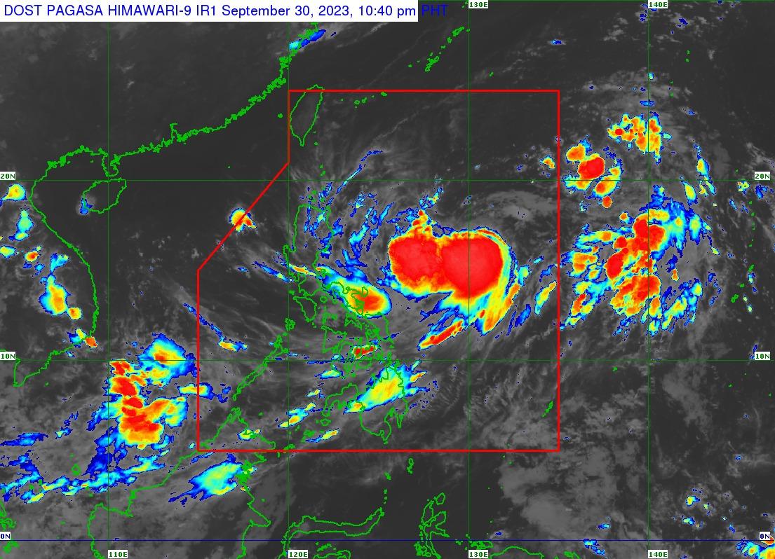
Tropical Storm Jenny has slightly intensified as it continues to move northwestward over the Philippine Sea, PAGASA said in a bulletin issued late Saturday evening.
Jenny was last seen 915 kilometers east of Central Luzon, with maximum sustained winds of 75 kilometers per hour and gustiness of up to 90 km/h.
It was moving northwestward at 15 km/h.
The tropical storm is not yet directly affecting the country, but heavy rainfall may be experienced over Batanes, the Babuyan Islands, and the northern portions of mainland Cagayan, Apayao, and Ilocos Norte on Wednesday or Thursday.
Jenny may enhance the Southwest Monsoon (Habagat), which will affect Palawan and Occidental Mindoro in the next three days.
Gusty conditions will also be experienced in these areas due to the possible enhancement of Habagat.
• Saturday night through Monday: Palawan, Romblon, and Western Visayas
• Tuesday: Western Visayas, Mimaropa, Bicol Region, and most of Calabarzon
On Monday, Jenny may bring moderate to rough seas (2.0 to 4.0 meters) to Extreme Northern Luzon and the northern portion of mainland Cagayan.
It may become a severe tropical storm on Sunday and reach the typhoon category late Monday or on Tuesday.
"Jenny is forecast to move generally northwestward until Monday before turning west northwestward on Tuesday towards the Luzon Strait and westward on Wednesday,'' PAGASA said in its 11 p.m. bulletin.
''On the track forecast, Jenny will pass over the Bashi Channel between Batanes and the southern portion of Taiwan between Wednesday evening and Thursday morning. However, a landfall or close approach scenario over Extreme Northern Luzon is still not ruled out since these scenarios are within the forecast confidence cone.'' —Jiselle Anne Casucian/VBL, GMA Integrated News
