

Jenny decelerates as it moves over Philippine Sea
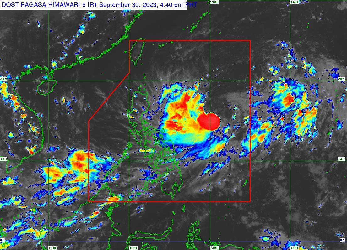
Tropical Storm Jenny has decelerated as it moved northwestward over the Philippine Sea, PAGASA said in its Saturday afternoon bulletin.
At 4 p.m., Jenny was spotted 995 kilometers east of Central Luzon, carrying maximum sustained winds of 65 kilometers per hour and gustiness of up to 80 km/h.
It was traveling northwestward at 10 km/h.
''The current forecast scenario shows that Tropical Cyclone Wind Signals may be hoisted over Extreme Northern Luzon tomorrow or on Monday in anticipation of the onset of tropical cyclone severe winds. However, the hoisting may happen earlier should there be changes in the forecast scenario,'' PAGASA said in its 5 p.m. bulletin.
Jenny is expected to enhance the Southwest Monsoon (Habagat), which will affect the western portions of Southern Luzon and Visayas on Sunday.
Gusty conditions will also be experienced in these areas due to the possible enhancement of Habagat.
• Sunday: Palawan, Romblon, most of the Visayas, and Dinagat Islands
• Monday: Most of Mimaropa, Visayas, and Dinagat Islands
On Monday, Jenny may bring moderate to rough seas (1.5 to 3.5 meters) to Extreme Northern Luzon and northern mainland Cagayan.
PAGASA said it was not ruling out the possibility that Jenny may make landfall or have a close approach over Extreme Northern Luzon or the northeastern mainland of Cagayan.
Jenny may become a severe tropical storm on Sunday and reach the typhoon category late Monday or on Tuesday. —Jiselle Anne Casucian/VBL, GMA Integrated News
