Ineng moves faster towards PH Sea, slightly enhances southwest monsoon

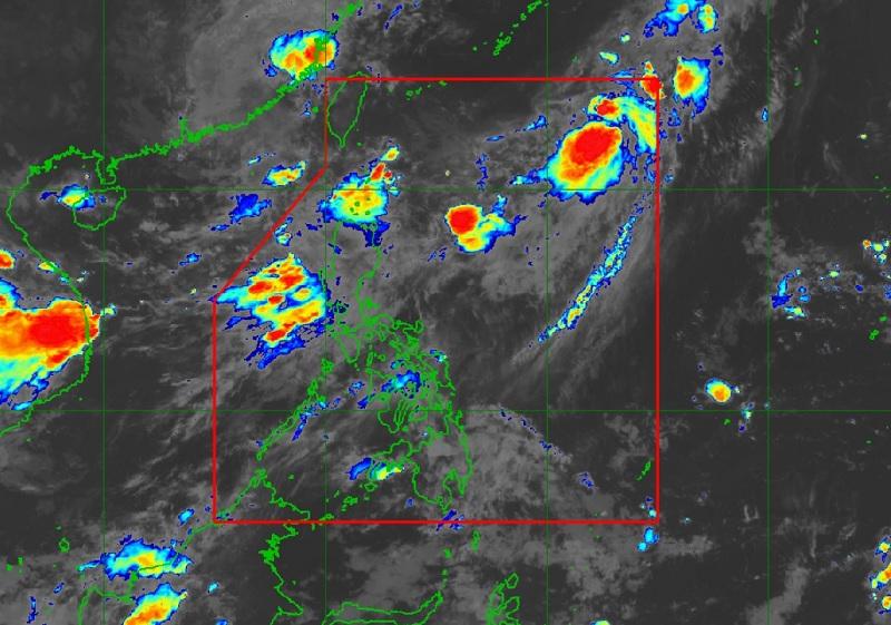
Tropical Depression “Ineng” accelerates northward at 30 kph over the northern portion of the Philippine Sea slightly enhances southwest monsoon, PAGASA said on Tuesday.
According to PAGASA’s 11 p.m. Tropical Cyclone Bulletin, Ineng was located 1,175 kilometers east northeast of extreme Northern Luzon packing maximum sustained winds of 55 kilometers per hour and gustiness of up to 70 kph.
The Tropical Depression has no direct affect to the country but will slightly enhance the southwest monsoon alongside Typhoon Haikui, which is outside the Philippine Area of Responsibility (PAR).
The enhanced southwest monsoon is forecasted to bring occasional rains over the western portions of Northern and Central Luzon in the next three days and gusty conditions over Batanes and Ilocos Provinces.
A gale warning is in effect over the seaboards of Northern Luzon, the western seaboard of Central Luzon, the western and southern seaboards of Southern Luzon, and the western seaboard of Visayas.
No tropical cyclone wind signals have been issued by the weather bureau.
Meanwhile, Ineng is forecast to remain far from any Philippine landmass as it continues to move generally northeastward or north northeastward while gradually intensifying.
Ineng is forecast to exit the Philippine Area of Responsibility by Wednesday morning or evening and move on a path towards waters south of mainland Japan. — BAP, GMA Integrated News


