

LPA develops into tropical depression, is named Ineng
The Low Pressure Area (LPA) located east of Extreme Northern Luzon has developed into a tropical depression and has been named Ineng, PAGASA reported on Tuesday.
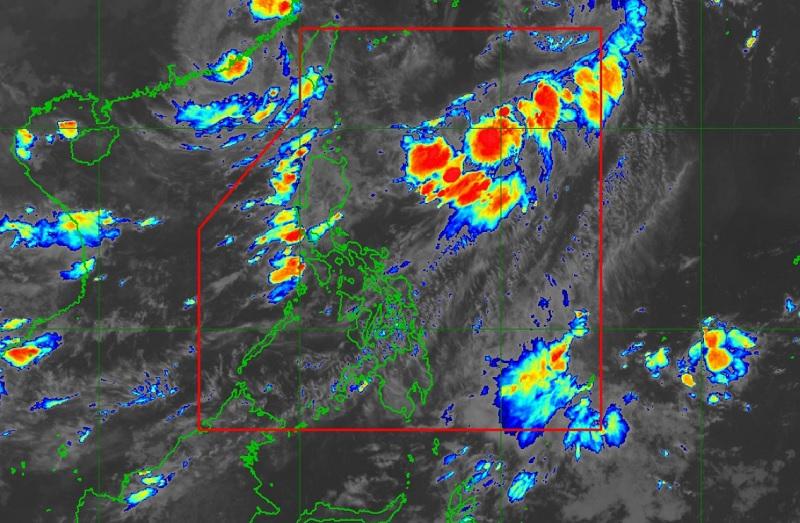
As of 4 a.m., the center of Tropical Depression Ineng was estimated at 925 kilometers east of Extreme Northern Luzon packing maximum sustained winds of 45 kilometers per hour near the center, gustiness of up to 55 km/h, and central pressure of 1002 hPa.
Ineng is moving northward slowly with strong winds extending outwards up to 150 km from the center.
There are no Tropical Cyclone Wind Signals raised at this time.
Hazards affecting land areas
Ineng is not directly affecting the country, although it is slightly enhancing the southwest monsoon alongside Tropical Storm Haikui (known as Typhoon Hanna when it was inside the Philippine Area of Responsibility), which enhances it more, PAGASA reported.
The enhanced monsoon will bring occasional to monsoon rains over the western portions of Luzon in the next three days.
Batanes, Cagayan, and Isabela will have cloudy skies with scattered rain showers and thunderstorms due to the trough of Ineng. Flooding or landslides may occur in these areas due to moderate with at times heavy rains.
Pangasinan, Zambales, and Bataan will have monsoon rains due to the Southwest Monsoon with flooding or landslides possibly occurring due to heavy to at times intense rains.
Metro Manila, the rest of Ilocos Region, Abra, Benguet, Pampanga, Bulacan, Rizal, Cavite, Batangas, and Occidental Mindoro will have occasional rains due to the monsoon with possible flooding or landslides occurring due to moderate to heavy rains.
The rest of Luzon will have cloudy skies with scattered rain showers and thunderstorms due to the monsoon with flooding or landslides occurring due to moderate with at times heavy rains.
Meanwhile, the rest of the country will have partly cloudy to cloudy skies with isolated rain showers or thunderstorms due to the monsoon and localized thunderstorms with flash floods or landslides possibly occurring during severe thunderstorms.
The northern and western sections of Luzon will experience strong wind speed moving in southwestward with rough coastal waters.
Visayas and the rest of Luzon will have moderate to strong wind speed moving southwestward with moderate to rough coastal waters.
Mindanao will have moderate to strong wind speed moving in the south to southwest direction with moderate to rough wind speed.
With Haikui expected to degenerate into a remnant low over mainland China and Ineng forecast to move north northeastward away from the country, the monsoon is forecast to weaken within the week.
Severe winds
Ineng is not directly affecting the country, said PAGASA.
However, the enhanced Southwest Monsoon will continue to bring gusty conditions over the following areas not under any Tropical Cyclone Wind Signal, especially in coastal and upland/mountainous areas exposed to winds over Batanes, Ilocos Provinces, the western portion of Pangasinan, Zambales, Bataan, Kalayaan Islands, Lubang Island, Romblon.
Hazards affecting coastal waters
Ineng is less likely to bring rough sea conditions over any seaboard of the country through the forecast period. However, due to the Southwest Monsoon that it is slightly enhancing, a Gale Warning is in effect for the seaboards of Northern Luzon, the western seaboard of Central Luzon, the western and southern seaboards of Southern Luzon, and the western seaboard of Visayas.
Track and intensity outlook
Ineng is forecast to remain far from the Philippine landmass and may exit the Philippine Area of Responsibility on Tuesday evening or Wednesday as a tropical storm.
Outside the PAR region, Ineng will continue in its northeastward or north northeastward movement towards the waters south of mainland Japan. — BAP/KG, GMA Integrated News
