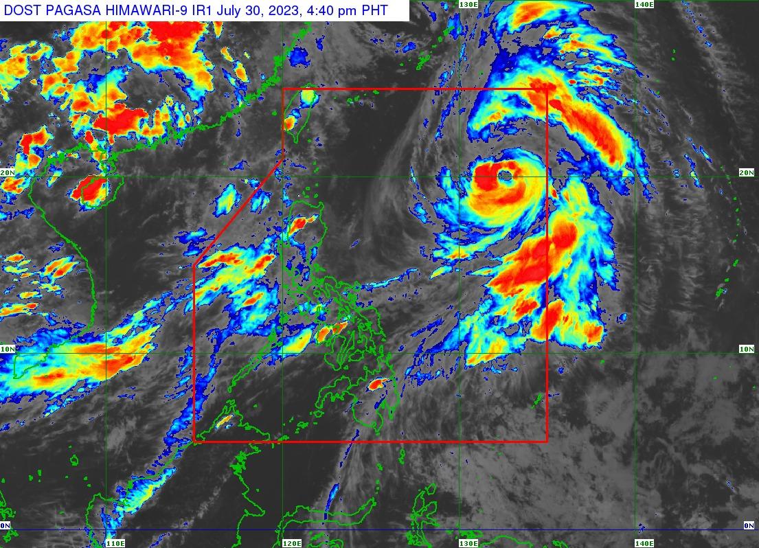
Falcon intensifies, forecast to become typhoon in next few hours

Severe Tropical Storm Falcon (international name: Khanun) has intensified and is expected to become a typhoon on Sunday evening or early Monday before reaching peak intensity on Tuesday, the state weather bureau announced on Sunday.
According to the 5 p.m. bulletin issued by PAGASA, the center of Falcon was last spotted at 1,170 kilometers of extreme northern Luzon, moving north at 20 kilometers per hour.
It recorded maximum sustained winds of 110 kilometers per hour near the center and gustiness of up to 135 kilometers per hour.
“The Southwest Monsoon enhanced by Severe Tropical Storm Falcon will bring occasional to monsoon rains over the western portions of Luzon and Visayas in the next three days,” the bulletin read.
“On the track forecast, the severe tropical storm may exit the Philippine Area of Responsibility (PAR) tomorrow evening or on Tuesday early morning,” it added.
PAGASA said the hoisting of a Wind Signal due to Falcon over any locality in the country remains “unlikely” based on the current forecast scenario, but the southwest monsoon will continue to bring gusty conditions.
Among the areas most hit on Sunday are Zambales, Bataan, Pampanga, Bulacan, Metro Manila, Occidental Mindoro, Palawan, Romblon, Northern Samar, most of Calabarzon, the Bicol Region, and Western Visayas.
Once outside the PAR, Falcon is projected to turn west-northwestward and pass nearby the Okinawa Islands in the Ryukyu Archipelago on Tuesday morning, before entering the East China Sea. — Jon Viktor D. Cabuenas/BM, GMA Integrated News


