

Dodong intensifies into a tropical storm; set to exit PAR
Dodong has intensified into a Tropical Storm as it is about to exit the Philippine Area of Responsibility, according to state weather bureau PAGASA.
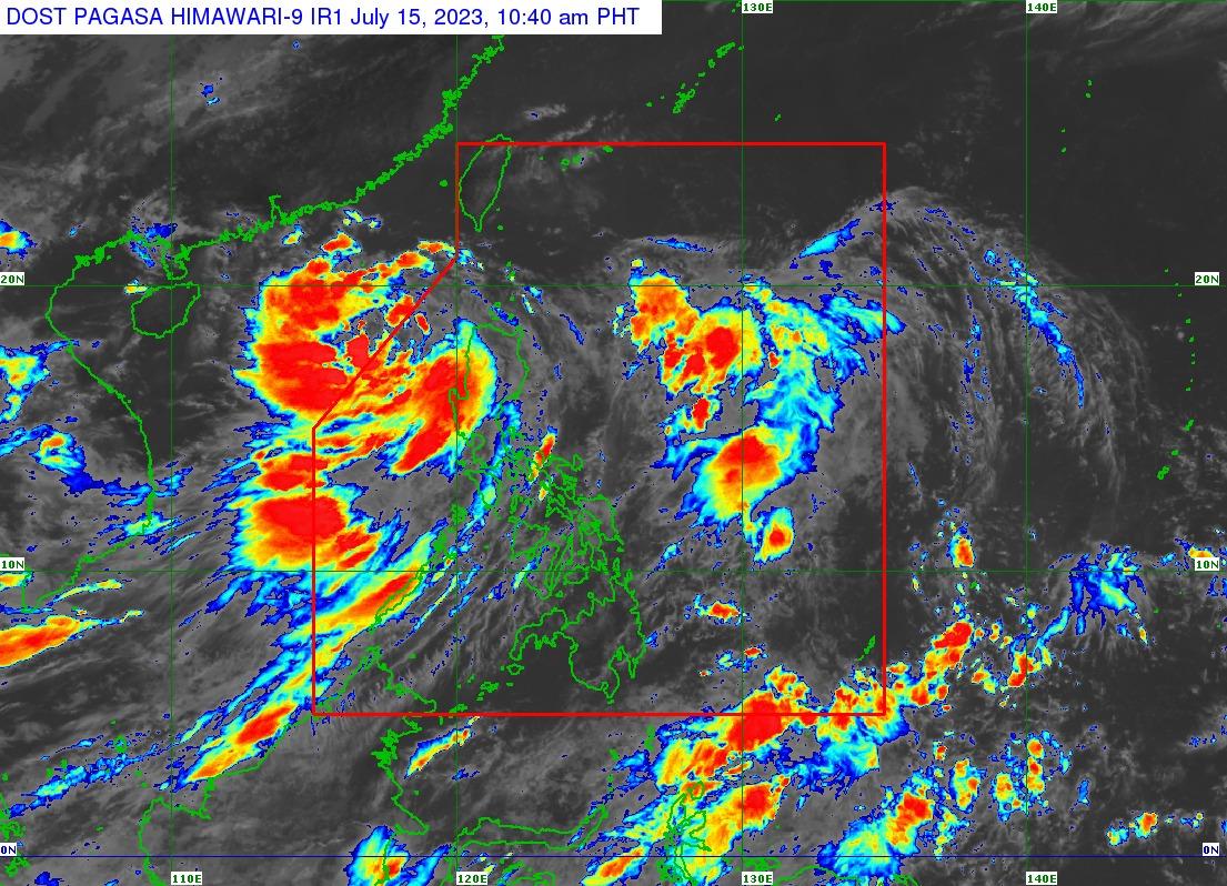
In its 11 am bulletin on Saturday, PAGASA said Tropical Storm Dodong will not directly bring heavy rainfall to any part of the country.
All Tropical Cyclone Wind Signals have also been lifted.
However, the enhanced Southwest Monsoon or Habagat may still bring gusty conditions over the following areas on Saturday:
Ilocos Region, Cordillera Administrative Region, Batanes, the eastern portion of Isabela, Quirino, Nueva Vizcaya, Zambales, Bataan, Bulacan, Pampanga, Aurora, Metro Manila, CALABARZON, MIMAROPA, Bicol Region, and Western Visayas.
PAGASA said Dodong is forecast to move generally northwestward this Saturday before turning west northwestward for the remainder of the forecast period, adding that it may exit PAR in the morning or in the afternoon.
Tropical Storm Dodong was last spotted 305 km West of Sinait, Ilocos Sur, moving north northwestward at 10 km/h. It has maximum sustained winds of 65 km/h near the center and gustiness of up to 80 km/h.
A marine gale warning is still in effect over the northern and western seaboards of Luzon and Western Visayas due to the influence of DODONG and the enhanced Southwest Monsoon.
Dodong is also forecast to intensify while over the West Philippine Sea which may steadily intensify and reach typhoon category on Monday, according to PAGASA. —Jamil Santos/ VAL, GMA Integrated News
