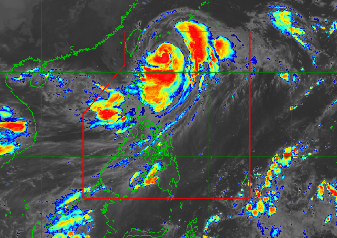
Batanes still under Signal 2; floods, landslides pose threat —PAGASA

Moderate to heavy rainfall will likely result in isolated to scattered flooding, flash floods, as well as landslides that threaten areas in Batanes and Babuyan Islands as Typhoon Henry was moving slowly northwards over the sea east of Taiwan.
In its 5 a.m. severe weather bulletin, state weather bureau PAGASA said Tropical Cyclone Wind Signal (TCWS) No. 2 is still hoisted over Batanes.
Areas under tropical wind signals will experience isolated to scattered flooding, floods and rain-induced landslides are possible especially in areas that are highly or very highly susceptible to these hazards as identified in hazard maps, and in localities with significant antecedent rainfall.
TCWS No. 1 is is still hoisted over Babuyan Islands and the northeastern portion of mainland Cagayan (Santa Ana).
In the next 24 hours, the Southwest Monsoon enhanced by this typhoon Henry will also bring monsoon rains over the western section of Luzon.
Tropical cyclone winds may reach gale-force strength in any areas where Wind Signal no. 2 is hoisted and strong wind strength (strong breeze to near gale) will be experienced within any of the areas where Wind Signal no. 1 is currently in effect.
In the next 24 hours, occasional gusts reaching strong to gale-force strength associated with the enhanced Southwest Monsoon and its convergence with the typhoon circulation may also be experienced (especially in the coastal and mountainous areas) over Ilocos Region, Cordillera Administrative Region, Central Luzon, Metro Manila, CALABARZON, Bicol Region, Isabela, Nueva Vizcaya, Quirino, Mindoro Provinces, Romblon, and the remaining localities in the mainland Cagayan that are not under any wind signal. —LBG, GMA News


