

Signal No. 2 hoisted over Metro Manila, 15 areas as Jolina moves west northwestward
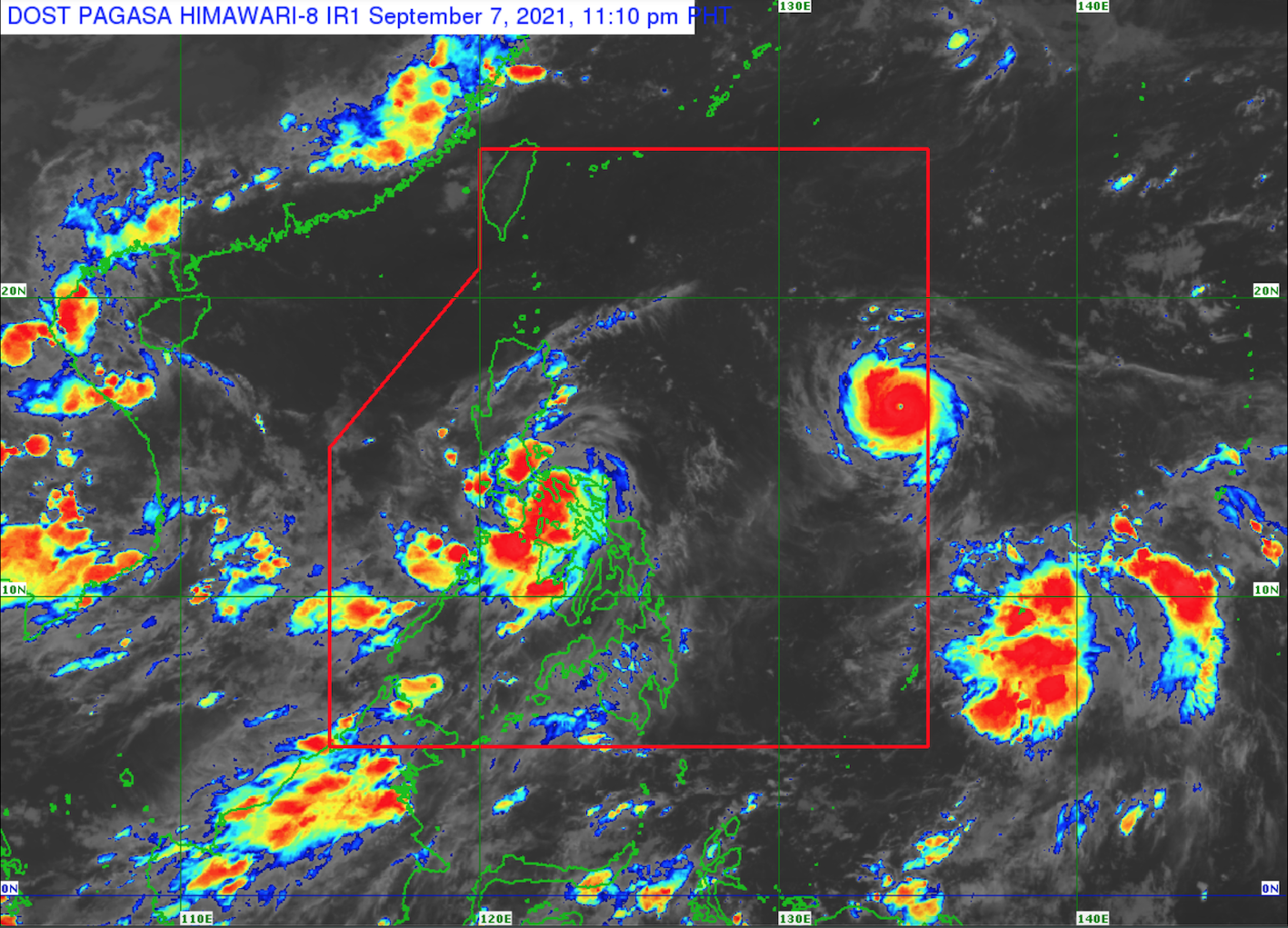
Tropical Cyclone Wind Signal (TCWS) No. 2 is raised over 16 areas in Luzon as Severe Tropical Storm Jolina continue to move in the west northwest direction over the Sibuyan Sea toward the Marinduque-Banton Island area, PAGASA said Tuesday night.
In its 11 p.m. Severe Weather Bulletin, PAGASA said the center of Jolina was located 50 kilometers north northeast of Romblon, Romblon with maximum sustained winds of 100 km per hour near the center, gustiness of up to 125 kph, and central pressure of 996 hPa. It is moving northwestward at a speed of 15 kph.
TCWS No. 2 is up over the following areas:
- Romblon
- the northwestern portion of Masbate (Aroroy) including Burias Island
- Marinduque
- the western section of Camarines Sur (Del Gallego, Lupi, Ragay, Libmanan, Sipocot, Cabusao, Pasacao, Pamplona, Gainza, Camaligan, Canaman, Magarao, Bombon, Naga City, Pili, Iriga City, Milaor, San Fernando, Minalabac, Bula, Nabua, Baao, Balatan, Bato, Ocampo)
- the northern and central portions of Oriental Mindoro (Bansud, Gloria, Pinamalayan, Pola, Socorro, Victoria, Puerto Galera, San Teodoro, Baco, City of Calapan, Naujan)
- the northern portion of Occidental Mindoro (Abra de Ilog, Paluan) including Lubang Islands
- Quezon including Polillo Islands
- Batangas
- Cavite
- Laguna
- Rizal
- Metro Manila
- Bulacan
- Pampanga
- Bataan
- the southern portion of Zambales (San Marcelino, San Antonio, Castillejos, Subic, Olongapo City)
Meanwhile, TCWS No. 1 is hoisted over the following:
LUZON
- La Union
- the southern portion of Benguet (Sablan, Tublay, Bokod, La Trinidad, Baguio City, Itogon, Tuba, Kapangan, Atok)
- the southern portion of Nueva Vizcaya (Alfonso Castaneda, Dupax del Norte, Dupax del Sur, Aritao, Santa Fe, Kayapa), the southern portion of Quirino (Nagtipunan)
- the southern portion of Aurora (Dipaculao, Baler, Maria Aurora, San Luis, Dingalan)
- Pangasinan
- Tarlac
- Nueva Ecija
- the rest of Zambales
- Camarines Norte
- the rest of Camarines Sur
- Albay
- Sorsogon
- the southwestern and central portions of Masbate (Mandaon, Baleno, Cawayan, Milagros, Dimasalang, Uson, Balud, City of Masbate, and Mobo) including Ticao Island
- the rest of Oriental Mindoro
- the rest of Occidental Mindoro
VISAYAS
- the northwestern portion of Antique (Caluya)
- Aklan
- Capiz
- the northeastern portion of Iloilo (San Dionisio, Batad, Estancia, Carles, Balasan, Sara)
Hazards, rainfall
In the next 24 hours, PAGASA said heavy to intense with, at times, torrential rains will be experienced over Masbate, Romblon, Marinduque, Quezon, Batangas, and Laguna, while moderate to heavy with, at times, intense rains will be likely over Metro Manila, Aurora, Bulacan, Cavite, Rizal, Oriental Mindoro, Occidental Mindoro, northern Palawan, the rest of Bicol Region, and Western Visayas.
"Under these conditions, scattered to widespread flooding (including flash floods) and rain-induced landslides are possible especially in areas that are highly or very highly susceptible to these hazard as identified in hazard maps," PAGASA said.
Damaging gale-force to storm-force winds are also likely to occur in areas under TCWS No. 2, which may bring generally light to moderate damage to structures and vegetation.
Strong winds (strong breeze to near gale conditions) with occasional gusts will also be experienced in areas under TCWS No. 1, which may result in very light damage to structures and vegetation.
Coastal areas of localities under TCWS may also experience coastal flooding due to hazardous surf conditions, PAGASA added.
Further, PAGASA said Jolina will also bring rough to very rough seas (2.5 to 5.0 meters) over the seaboards of areas under TCWS No. 2 in the next 24 hours.
"Sea travel is risky for all types of seacrafts over these waters. Mariners without the proper experience should immediately seek safe harbor," PAGASA warned.
Moderate to rough seas (1.2 to 2.8 m) will prevail over the seaboards of areas under TCWS No. 1 and the remaining seaboards of Visayas.
"Mariners of small seacrafts are advised to take precautionary measures when venturing out to sea. Inexperienced mariners should avoid navigating in these conditions," PAGASA advised.
PAGASA said Jolina is forecasted to make landfall or pass very close to the vicinity of Marinduque on Wednesday morning. -- BAP, GMA News
