Fabian slightly intensifies while moving north —PAGASA

Tropical Storm Fabian slightly intensified while moving north northwestward over the Philippine Sea, PAGASA said Sunday afternoon.
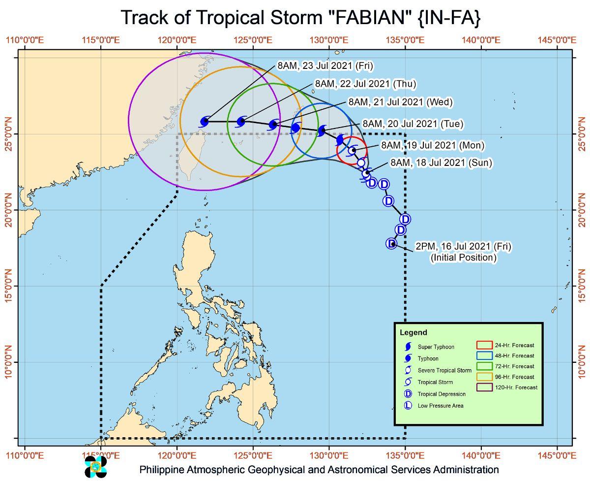
In its 5 p.m. severe weather bulletin, PAGASA said the center of Fabian was located 1,095 kilometers east northeast of extreme Northern Luzon at 4 p.m. with maximum sustained winds of 75 km per hour near the center and gustiness of up to 90 kph, moving north-northwestward at 10 kph.
PAGASA said Fabian is unlikely to bring heavy rainfall in the country.
The hoisting of tropical cyclone wind signals over any land area in the country also remains unlikely, it added.
Meanwhile, PAGASA said Fabian and another tropical depression estimated 770 km west of Basco, Batanes are currently enhancing the southwest monsoon.
Palawan, Occidental Mindoro, Zambales, and Bataan will experience monsoon rains in the next 24 hours.
Fabian will remain far from the Philippine landmass throughout the forecast period and is expected to exit the northern boundary of the Philippine Area of Responsibility on Monday evening or Tuesday morning.
Due to the uncertainty of the track, PAGASA said a southward shift of the track of Fabian may increase the likelihood of re-entering PAR. —LBG, GMA News


