

Dante outside PAR will continue to bring scattered rains over Ilocos Region, Zambales, Bataan
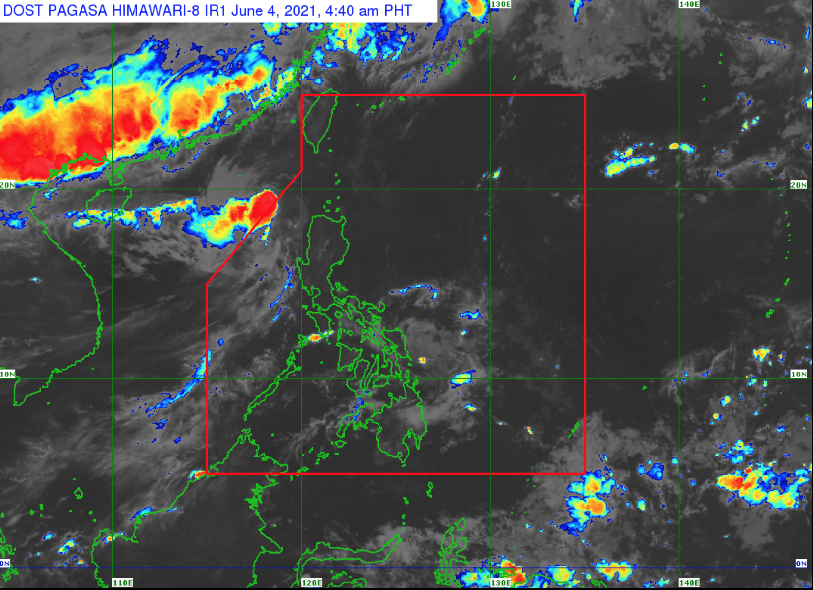
Tropical Storm Dante continues to move northward and is now outside the Philippine Area of Responsibility (PAR), according to the Severe Weather Bulletin posted by PAGASA.
Ilocos Region, Zambales and Bataan will have cloudy skies with scattered rainshowers and thunderstorms brought about by Tropical Storm Dante with possible flash floods or landslides due to scattered light to moderate to at times heavy rains.
Metro Manila and the rest of the country will have partly cloudy to cloudy skies with isolated rainshowers due to localized thunderstorms with possible flash floods or landslides during severe thunderstorms.
The northern and western sections of Northern Luzon will experience moderate to strong wind speed moving in the southwest to south direction while coastal waters will be moderate to rough.
The rest of the country will experience light to moderate wind speed moving in the southeast to southwest direction while coastal waters will be slight to moderate.
As of 4 a.m. Dante was estimated 285 kilometers northwest of Laoag City, Ilocos Norte or 325 km West of Calayan, Cagayan outside PAR with maximum sustained winds of 65 kilometers per hour near the center, gustiness up to 80 kph, and central pressure of 998 hPa and moving northward at a speed of 20 kph.
Sea travel is risky for small seacrafts as a Gale Warning remains in effect over the northern and western seaboards of Northern Luzon.
After exiting PAR, Dante is forecast to move generally north northeastward or northeastward throughout the forecast period.
The center of the tropical storm will re-enter the PAR this afternoon and make a close approach or landfall in the vicinity of southern Taiwan tonight.
The storm will continue moving northeastward towards the East China Sea.
Dante will likely maintain its strength until its landfall or close approach over the southern portion of Taiwan on Saturday evening and weaken into a tropical depression. -- BAP, GMA News
