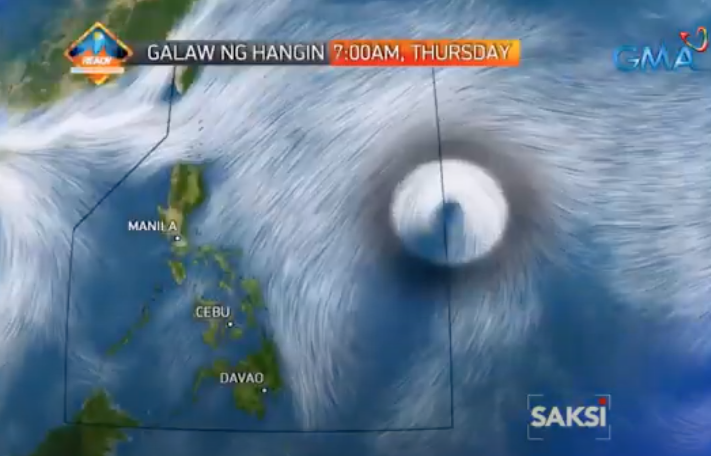
Goni intensified into severe tropical storm, within PAR Thursday –PAGASA

The weather disturbance “Goni” located east of Central Luzon has intensified into a severe tropical storm on Thursday morning, state weather bureau PAGASA said.
In an 11 a.m. bulletin, PAGASA said that the severe tropical storm will enter the Philippine Area of Responsibility (PAR) either on Thursday afternoon or evening and will be named “Rolly.”
“It is forecast to reach typhoon category within 24 hours and will continue to intensify while moving over the Philippine Sea,” PAGASA noted.
The severe tropical storm will move westwards by Saturday evening and west-northwestwards by Sunday as it moves toward the Quezon-Aurora area, it added.
Tropical Cyclone Wind Signal (TCWS) No. 1 may be hoisted over some provinces in the Bicol region and Northern Samar by Friday evening, PAGASA said.
Currently, Goni has no direct effect yet to any part of the country.
“However, as it moves towards eastern sections of Central and Southern Luzon, it may bring heavy rains over those areas starting this Friday or this weekend,” PAGSA said.
At 10 a.m., Goni was located at 1,545 km east of Central Luzon outside PAR with maximum sustained winds of 95 km per hour and gustiness of up to 115 kph.
It is moving west at 10 kph.
Aside from Goni, PAGASA also said it is monitoring a low-pressure area (LPA) located hundreds of kilometers east of Mindanao, which developed into a tropical depression at 8 a.m. Thursday.
This tropical depression will intensify into a tropical storm within 24 hours and may enter the PAR either on Monday or Tuesday, PAGASA added.
At 10 a.m., it was located at 2,510 km east of Mindanao (6.2°N,148.5°E) with maximum sustained winds of 55 kph and gustiness of up to 70 kph.
It is moving west-northwestwards at 15 kph, according to PAGASA. —LBG, GMA News


