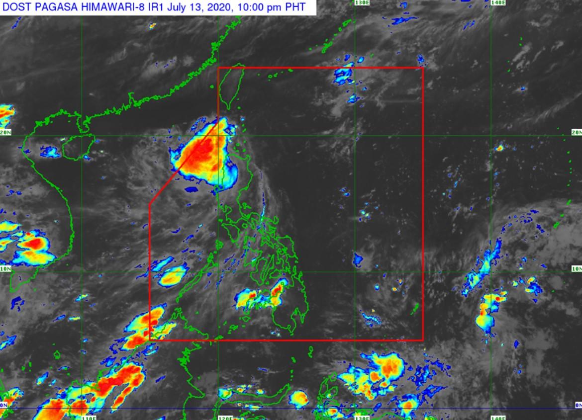
Signal No. 1 still over Batanes, Babuyan Islands due to Carina

Tropical Depression Carina is forecast to move northwestward towards the Luzon Strait, passing near Babuyan Islands and Batanes.
In its severe weather bulletin at 11 p.m. on Monday, PAGASA said a landfall by Carina over Batanes remained a possibility.
Signal No. 1 remains hoisted over Batanes, Babuyan Islands, and the northeastern portion of mainland Cagayan in Santa Ana and Gonzaga towns.
This tropical depression is forecast to weaken into a Low Pressure Area on Wednesday.
Heavy rainfall outlook
Between Monday night and Tuesday afternoon, scattered to widespread moderate to heavy rains over Batanes, northern portion of Cagayan including Babuyan Islands, Ilocos Region, Apayao, and Abra.
Scattered light to moderate with at times heavy rains over the rest of Northern Luzon.
Flooding and rain-induced landslides may occur during heavy or prolonged rainfall especially in areas that are highly or very highly susceptible to these hazards.
The public and disaster risk reduction and management offices are advised to take appropriate measures and monitor the Rainfall or Thunderstorm Advisories or Heavy Rainfall Warnings of PAGASA Regional Services Divisions. -NB, GMA News


