

First successful images from Diwata-1 unveiled

The first successful images from the Philippines' pioneering Diwata-1 microsatellite were made public late Thursday, June 2.
The photos were published by Japan's Tohoku University in a press release. The university, together with Hokkaido University and the University of the Philippines, supervised the DOST-funded all-Filipino team that built the satellite.
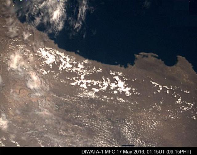
During a flyby over Luzon last May 17, the Diwata-1 was able to capture a clear photo of the Isabela region using its Middle Field Camera (MFC):
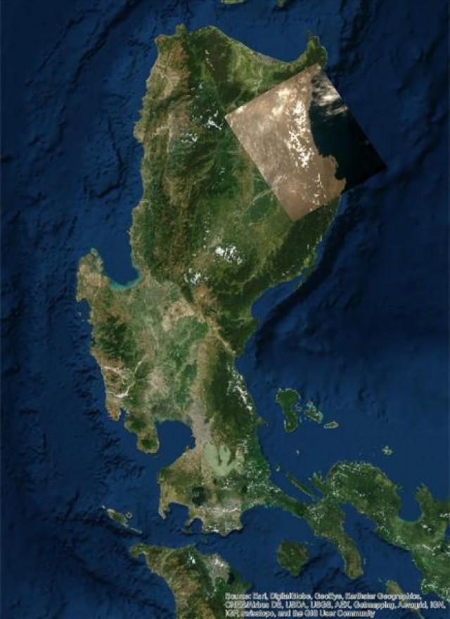
Here is the same photo overlaid on a map of Luzon, for reference:
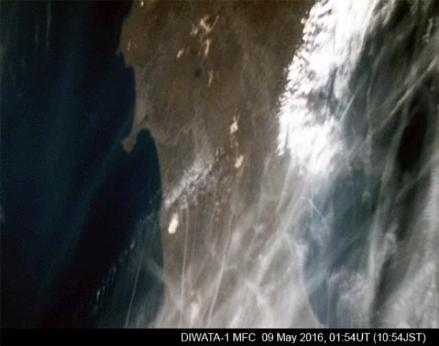
The MFC was also used to capture this photo of a swath of northern Japan as the satellite passed overhead on May 9:
The Diwata-1 was deployed into orbit from the International Space Station (ISS) on April 27. It will be in orbit for approximately two years, producing high-resolution scans of the Philippines twice a day.
The microsatellite is equipped with a high precision telescope, a multispectral imager, and a wide field camera. These instruments will enable scientists on the ground to get an accurate idea of weather patterns, crop health, and disaster damage, among other uses. — GMA News
