

Project NOAH v2.0 shows the way

Nobody can predict the future, but everyone can prepare for it.
On Friday, the Department of Science and Technology (DOST) launched the latest iteration of its Project NOAH (Nationwide Operational Assessment of Hazards) website, aimed at doing just that.
Click here to visit the Project NOAH website.
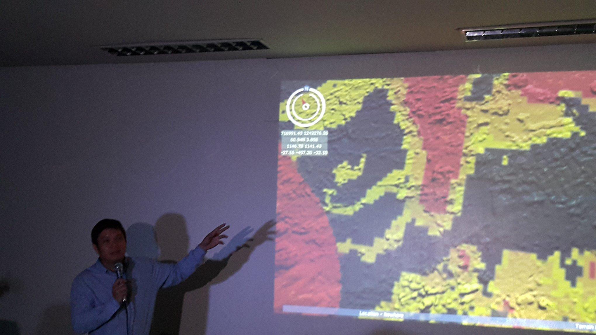
On the surface, the Project NOAH sports a sleeker and snappier interface than its predecessor—including, among other things, MS Paint-like tools that allow you to draw out and measure distances on the map to help get a better idea of, for example, how far a storm is from the country or how large an area might be affected by floods.
World-leading hazard maps

"No country in the world has ever done this kind of work, mapping to this level of detail on a nationwide scale," said Project NOAH executive director Dr. Mahar Lagmay.
"No other country has this kind of mapping product. That alone was reason enough to relaunch the site."
Since its launch in 2012, Project NOAH has been hard at work using airborne Light Detection and Ranging (LIDAR) technology to map terrain across thousands of barangays down to tolerances of mere centimeters.
The result is richly detailed maps which, coupled with near real-time data from weather sensors, produces a highly accurate picture of weather hazards.
Lagmay says that Project NOAH has even developed the capability to continually update the maps—at least once every ten years, or immediately after a major disaster.
"We can do that anytime. We have the people and equipment to re-map places with LIDAR as needed," he said.
Importance of visual communication
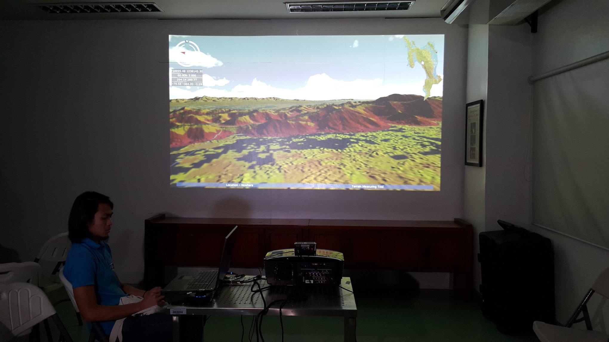
For Lagmay, the visual impact of Project NOAH's hazard maps cannot be overstated.
"Visual communication is best made with hazard maps. If you know your neighborhood and you know you're in a hazardous place, you should know where to go and where it's safe," he explained.
"Even if you know there's a storm surge, without hazard maps you wouldn't know where to go," he added.
Need for public awareness, involvement
Yet despite Project NOAH's pioneering efforts, Lagmay acknowledges that the Achilles' Heel of the endeavor lies in public awareness.
"We need everyone to know about this. It's not just about making Project NOAH publicly available, it's also about how all sectors use it," he said, underscoring the need for increased information dissemination as well as widespread public involvement.
Apart from the hazard maps, Project NOAH v2.0 also features the WebSAFE application, an impact-assessment tool developed in collaboration with The World Bank and UNICEF; and the latest version of the Arko mobile app, developed in cooperation with Pointwest Technologies to provide users with location-specific flood hazard warnings. — GMA News
